VARIOUS TOWN AND
HAMLET MAPPING
ALBERTA, CANADA
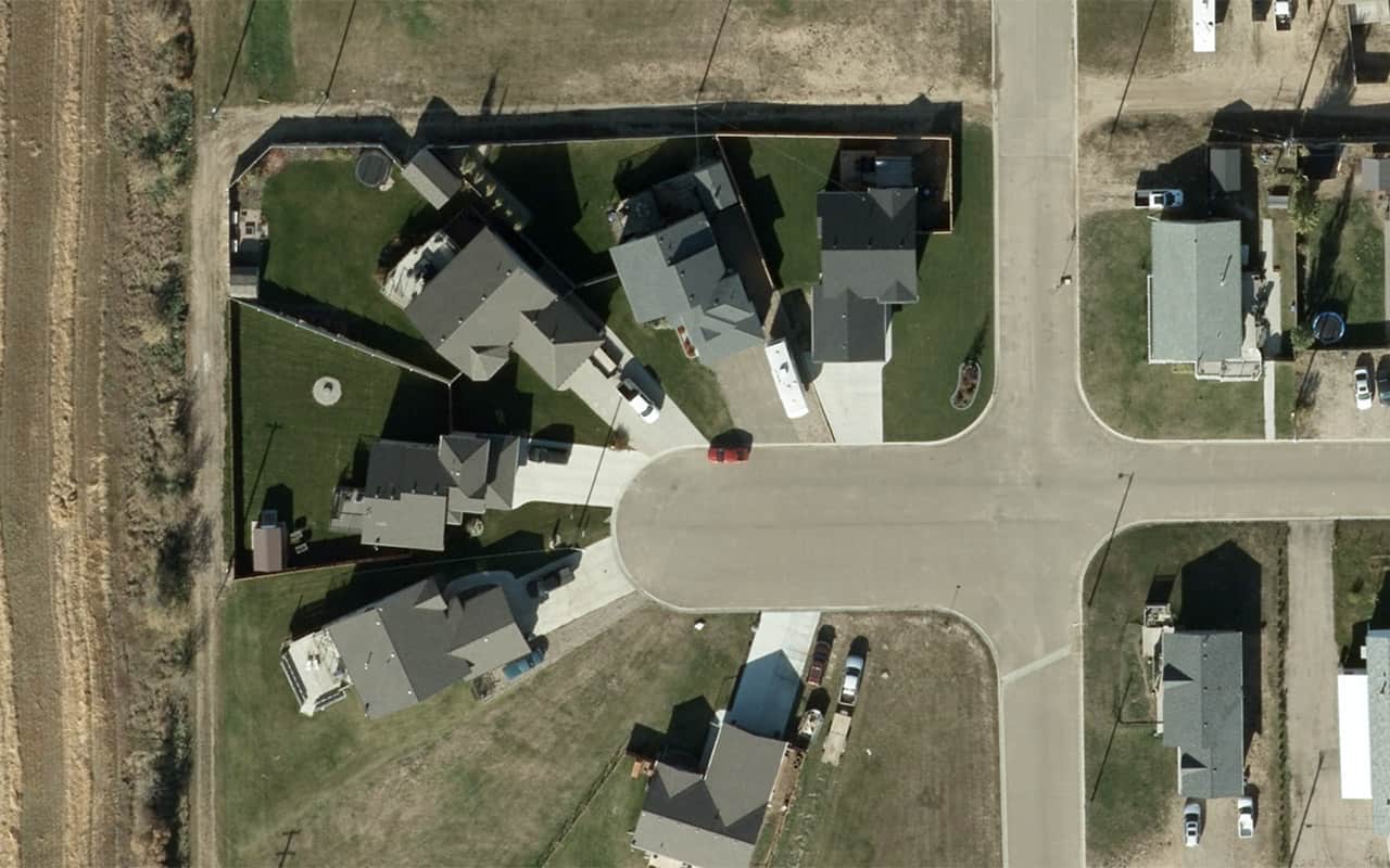
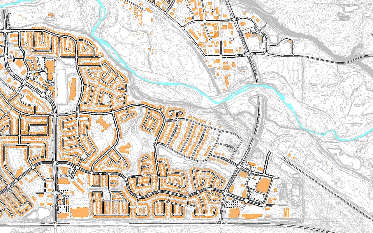
WGS services a number of smaller towns and hamlets annually throughout the Canadian season. High resolution digital orthophoto and high density LiDAR are provided for use in town and infrastructure planning.
The sensor combination that is used for LiDAR and orthophoto allows WGS to acquire both in a single flight, maximising efficiency and lowering costs.
WGS also provides 2D and 3D building footprints depending on each towns requirements.
LOCATION:
53.05027, -114.49562
Location
| EXTENT: | 10 km² |
| DATE | Ongoing |
| IMAGERY: | 5 – 10 cm |
| LIDAR: | 5 ppm² |
| EQUIPMENT: | ELMAP LiDAR Multihead Nikon Camera system Vexcel Ultracam Xp |


