Professional stereo collection remains the most accurate method for line mapping and topographic vector data collection, far more so than simply mapping from orthophoto. Measurements can be made with an accuracy of a few centimetres in height and position.
Professional-grade aerial imaging cameras for superior picture quality.
Ideal for complex, large-scale projects requiring precise data.
Efficient data capture across challenging terrains and expansive coverage areas.
ACCURACY AND SCALE WITHOUT COMPROMISE
WGS maintains seven workstations for this task and is able to handle large or small projects with this capacity.
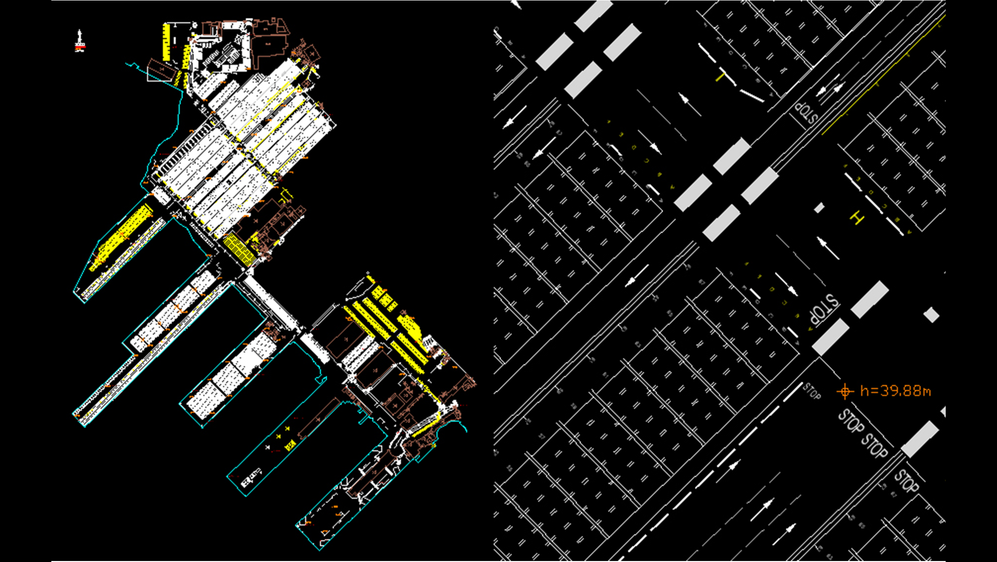
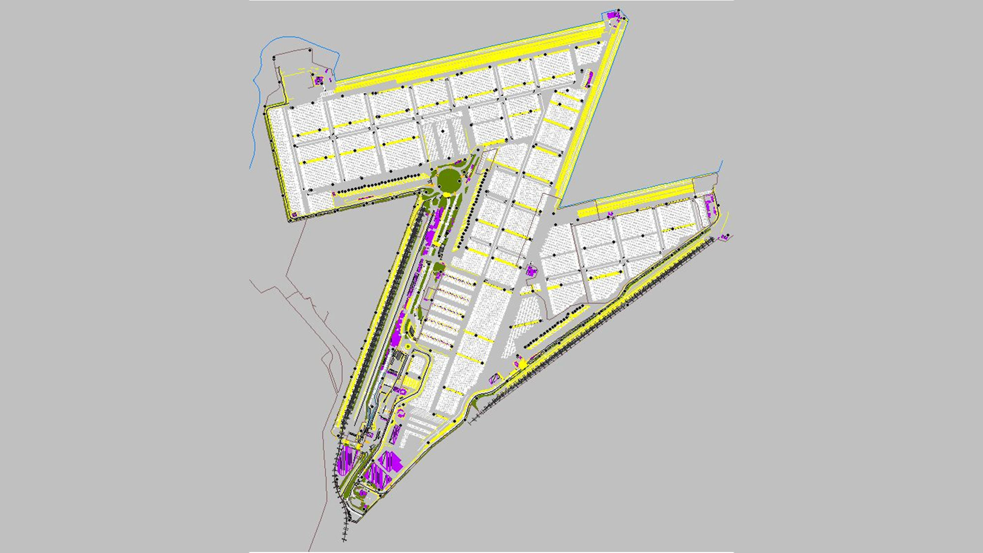
Topographic survey is simply the recording of coordinates and height data for a particular survey area. This data can be used to create spot height maps, contour maps, or more complex terrain models of the surveyed area.
Professional-grade equipment ensures stable, high-quality output under various conditions.
SURVEY SOLUTIONS TAILORED TO YOUR NEEDS
COMPREHENSIVE TOPOGRAPHIC MAPPING CAPABILITIES
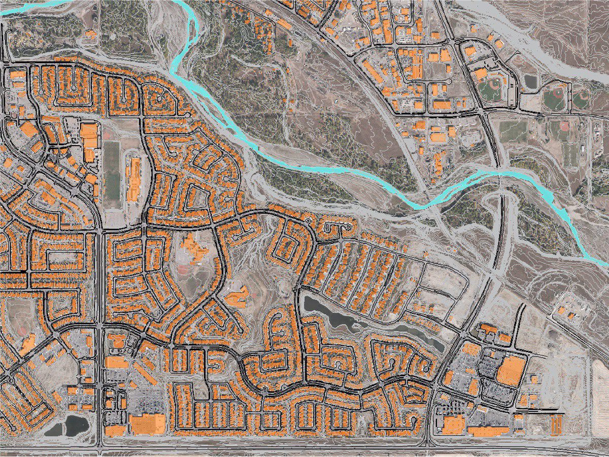
Geo-referenced aerial images with precise spatial accuracy for mapping and planning. High-Resolution DTM (Digital Terrain Models). Detailed topography data for land use planning and engineering. 3D Urban Modelling: Accurate 3D representations of urban areas for city planning and smart city projects.
OUR TOPOGRAPHIC MAPPING PROCESS
3-STEP PROCESS VISUALISATION:
1
Project Consultation
We start with a detailed consltation to understand your specific needs and project requirements, ensuring we tailor our imaging solution to your objectives.
2
Data Capture
Our experienced team uses large-format mapping cameras mounted on manned aircraft to capture data with pinpoint accuracy and wide coverage.
3
Data Processing and Delivery
After capturing the data, our team processes it for seamless integration into your workflows, providing high-quality deliverables ready for analysis.
Topographic mapping involves creating detailed maps that show the contours, elevations, and natural or man-made features of a terrain. Aerial surveys use LiDAR, photogrammetry, or satellite imagery to collect data and generate these maps.
Topographic maps are essential for industries like: Construction and infrastructure planning Mining and quarrying Environmental studies Urban development Agriculture and forestry management
Accuracy depends on the method used and ground control points (GCPs). Typically, vertical accuracy can range from ±5–10 cm, and horizontal accuracy from ±5–30 cm.
Topographic maps typically include: Elevation contours Terrain features like hills, valleys, and ridges Natural elements such as rivers and vegetation Infrastructure such as roads, buildings, and utilities.
Deliverables typically include: Contour Maps: For terrain visualization. Digital Elevation Models (DEM): In GeoTIFF or raster formats. Shapefiles: For GIS applications. 3D Models: In formats like DXF or KMZ for integration into CAD or Google Earth.
Click here to view the full range of our services.
PRECISION DATA COLLECTION FROM OUR STRATEGIC BASES
TOPOGRAPHIC MAPPING COVERAGE
From our worldwide strategic bases, we provide aerial imaging services to clients worldwide. From urban centers to remote landscapes, our team has the capacity to capture high-resolution data wherever your project is located.
We are continuously engaged in fascinating projects with inspirational clients!
"Wooding Geospatial Solutions have come up with an effective solution to the problem we were faced with. Thank you and we are looking forward to working with this team on our next project!"
Scott V.
"The service was excellent. The survey that Wooding Geospatial Solutions did for us was handled efficiently and professionally. We were very happy with the reports. Highly recommended!"
James S.
"We received the data, and are extremely happy with it. From the quality of the imagery to the extent of the final deliverables, it’s easily one of the best Orthophotography projects we’ve been involved in."
Rob M. - Vermillion County
"The LiDAR data has been a HUGE help, not only for drill planning but we have also been able to find a bunch of new outcrops now have been in the forest."
Pete S. - Virginia Mining Corporation
"Wooding Geospatial Solutions is a professional organisation and all work has been delivered timeously and to specification."
Patrick G. - GeodesyGroup Inc.
START YOUR LIDAR PROJECT TODAY
Our team is ready to deliver precise, large-scale data to meet the unique needs of your project. Contact us today to discuss your requirements and receive a customized quote.