Wooding Geospatial Solutions is an ISO-Certified, dynamic aerial survey and mapping company with over thirty years of experience across two continents. From our offices in Durban, South Africa and Calgary, Canada we offer leading edge spatial information acquisition and geomatics services to a wide range of markets.
Our mission is to create innovative geospatial solutions that contribute to a sustainable future.
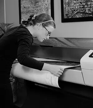
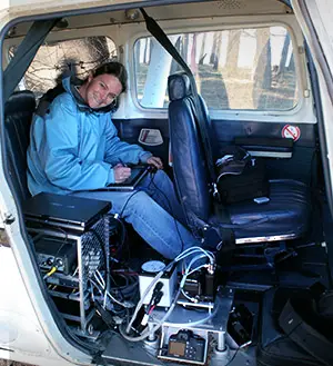
The firm owns and maintains its own aircraft, complete downstream processing workflow as well as our technical team. We have fitted our equipment to a variety of aircraft all over the world to perform LiDAR, multi-spectral imaging and thermal surveys. Data production is implemented at our facility in Durban but can be conducted anywhere, even at our clients’ premises!
We are always working on interesting projects with inspirational clients!
OUR HISTORY
Wooding Geospatial Solutions evolved from the family business, Rob Wooding & Associates, following a restructuring initiative in 2007.
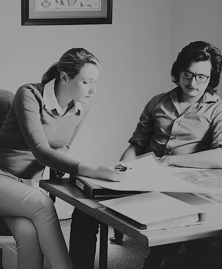
The company is built upon a trusted market position rooted in the field of aerial, agricultural and engineering survey. A tradition of quality, accuracy and competitive technology application, has led to the establishment of their role as a provider of industry-savvy consulting services.
With a focus on innovation and transformation under Hal Wooding’s directorship, the company’s geographic market presence increased to include Canada with the opening of its Alberta branch in Calgary in 2013.
In a constantly evolving industry, Wooding Geospatial Solutions prides itself in the ongoing investigation of new ideas and methods of integrating new technologies, software development and data analysis.
Together with an extensive international network of trusted partners, Wooding Geospatial Solutions has occupied a progressive position in the survey and mapping industry spanning over 30 years.