Advanced LiDAR, photogrammetry, and remote sensing solutions for engineering, planning, and infrastructure development.
From quarry volumes to habitat mapping, we deliver survey-grade data, proven across three continents, for the decisions that matter.
We work in the air so you can work on the ground, enjoying the challenge of creating aerial survey solutions unique to your requirements, providing the right data at the right price.
Our passionate team are dedicated to finding a relevant, cost effective solution to your next Geospatial challenge.
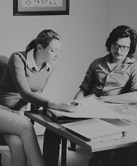
WHO WE ARE
We are passionate about solving complex geospatial challenges. Utilising reliable fixed-wing platforms, drones, cutting-edge equipment and processing tools, we deliver tailored solutions that provide our clients with precisely the information they need.
COMMITED TO EXCELLENCE, INNOVATION AND PRECISION!
PROJECTS
KILOMETERS FLOWN
TERRABYTES
WHERE WE’VE BEEN
WHERE WE ARE
WGS has four established bases of operation. Canada, South Africa, New Zealand and the United Kingdom.
For those areas that can’t be directly serviced from these locations, we have an extensive and well established network of partners with whom we work and have completed projects as far afield as the Philippines, Reunion and Tunisia.

SOUTH AFRICA
#203, Worlds View Office Park, Worlds View Drive, Gillitts, 3610
Tel: +27 (0)31 765 1424
WHO WE’VE HELPED
We are continuously engaged in fascinating projects with inspirational clients!