Empowering professionals with practical skills in aerial mapping, GIS analysis, and geospatial intelligence.
In order to extract useful geographical information from spatial data, it is necessary to put it to work. WGS is able to assist with training to leverage spatial data in order to provide the information necessary to make the right decisions.
The training our firm offers varies from one-on-one custom tuition on specialised aspects of aerial survey to regular online group training sessions on GIS.

We provide training focused on developing skills in data collection, analysis, and the effective use of advanced technologies. Our courses focus on theoretical knowledge and technical skills to equip participants for industry applications.
3-STEP PROCESS VISUALISATION:
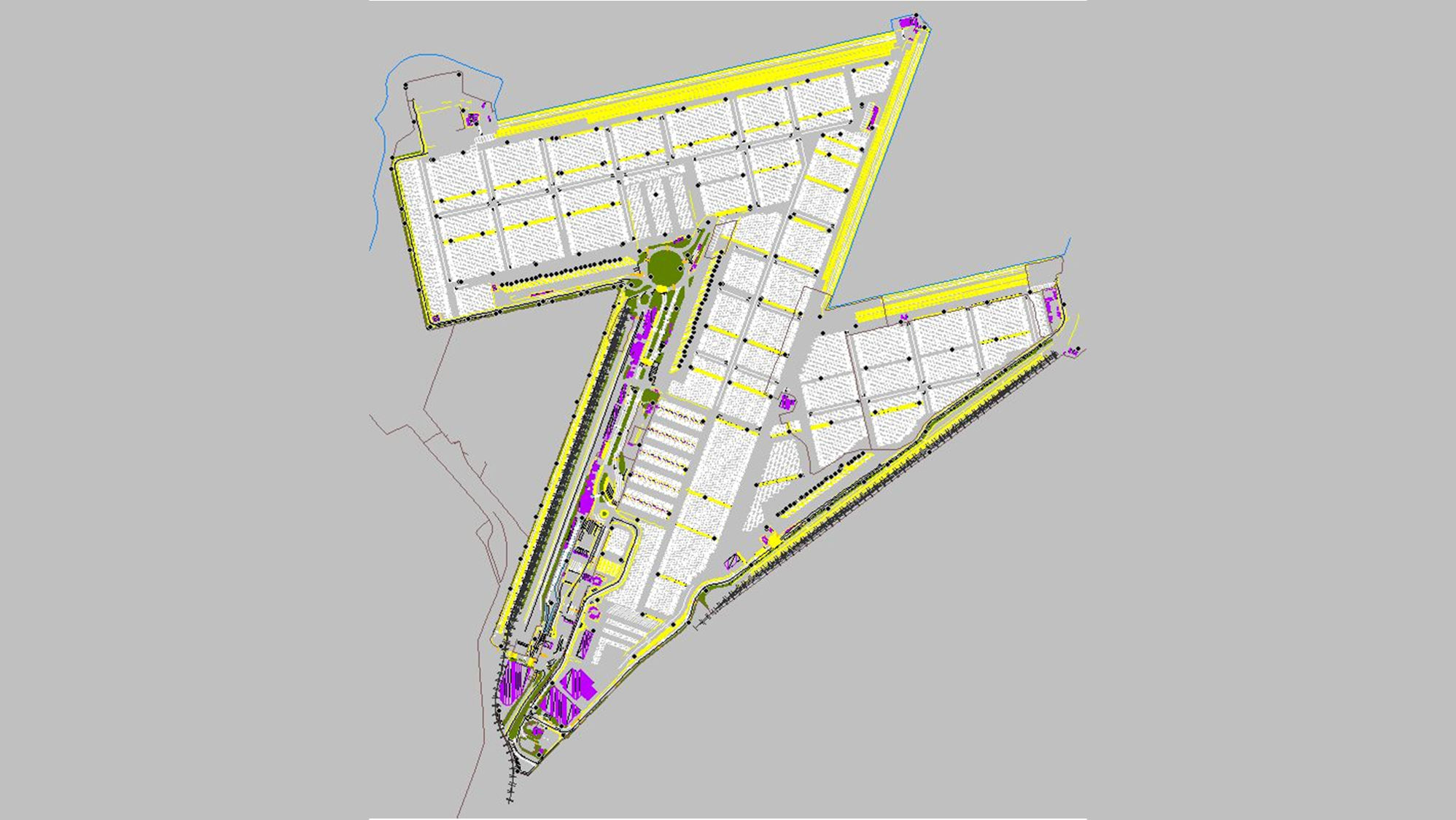
GIS training covers how to process, analyze, and visualize aerial survey data such as orthophotos, LiDAR, and DEMs. It includes importing data into GIS software, applying spatial analysis tools, and creating maps and models.
Training typically focuses on QGIS, or Global Mapper, depending on the user’s needs and project requirements.
No prior experience is required for beginner-level training. Courses are available for all skill levels, from basic GIS concepts to advanced spatial analysis techniques.
Training typically includes:
Orthophotos (georeferenced imagery)
LiDAR point clouds
Digital Elevation Models (DEMs)
Contour maps
Raster and vector data
Training provides the skills to:
Extract meaningful insights from aerial survey data.
Perform tasks like terrain modeling, volumetric calculations, and feature mapping.
Integrate aerial data into larger geospatial projects.
Yes, training can be tailored for industries such as construction, mining, forestry, agriculture, and environmental management to address specific applications of aerial survey data.
After training, you’ll be able to create:
Accurate topographic maps.
3D terrain models and visualizations.
Spatial analysis reports for decision-making.
Interactive GIS layers for integration into larger projects.
Click here to view the full range of our services.
TRAINING FROM OUR STRATEGIC BASES
From our worldwide strategic bases, we provide training services to clients worldwide.

SOUTH AFRICA
#203, Worlds View Office Park, Worlds View Drive, Gillitts, 3610
Tel: +27 (0)31 765 1424
WHO WE’VE HELPED
We are continuously engaged in fascinating projects with inspirational clients!


WGS is ready to deliver professionally recognised courses to meet the unique needs of your team. Contact us today to discuss your requirements and receive a customized quote.