Skip to the content
HOME
ABOUT US
PORTFOLIO
LiDAR Survey
Flood Analysis
UAV Mapping
Town Mapping
Forest Inventory Mapping
Oblique Acquisition and 3D City Modelling
Multi-Spectral Imaging
Sugar Crop Area Audit
Wind Farm Mapping
SERVICES
Aerial Imaging
LiDAR
Topographic Mapping
Thermal Surveys
Oblique Imaging
Pod Surveys
GIS
Training
ARTICLES
Menu
HOME
ABOUT US
PORTFOLIO
LiDAR Survey
Flood Analysis
UAV Mapping
Town Mapping
Forest Inventory Mapping
Oblique Acquisition and 3D City Modelling
Multi-Spectral Imaging
Sugar Crop Area Audit
Wind Farm Mapping
SERVICES
Aerial Imaging
LiDAR
Topographic Mapping
Thermal Surveys
Oblique Imaging
Pod Surveys
GIS
Training
ARTICLES
CONTACT US
ARTICLES
We are always working on interesting projects with inspirational clients!
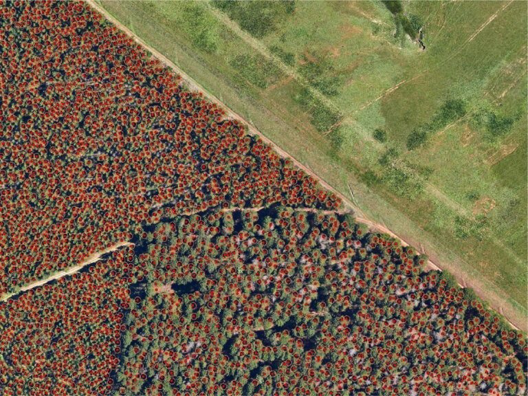
LIDAR FOREST METRICS
2022.03.14
We have been working with stakeholders in forestry to measure complete timber stand biometrics.
Read More
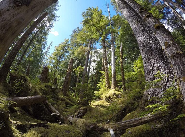
GWAII HAANAS
2021.01.29
WGS embarked on an ambitious LiDAR project off the West Coast of British Columbia, focussing on the Gwaii Haanas National Park.
Read More
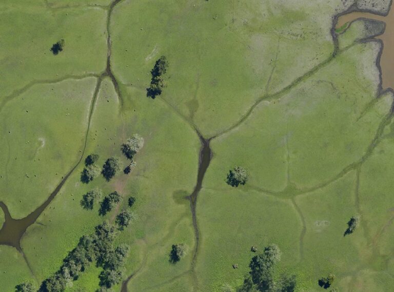
GORONGOSA NATIONAL PARK
2020.12.25
The project over Gorongosa National Park from Princeton University posed numerous challenges, all of which were thankfully overcome by keen planning.
Read More