Urban Oblique acquisition and 3D City modelling
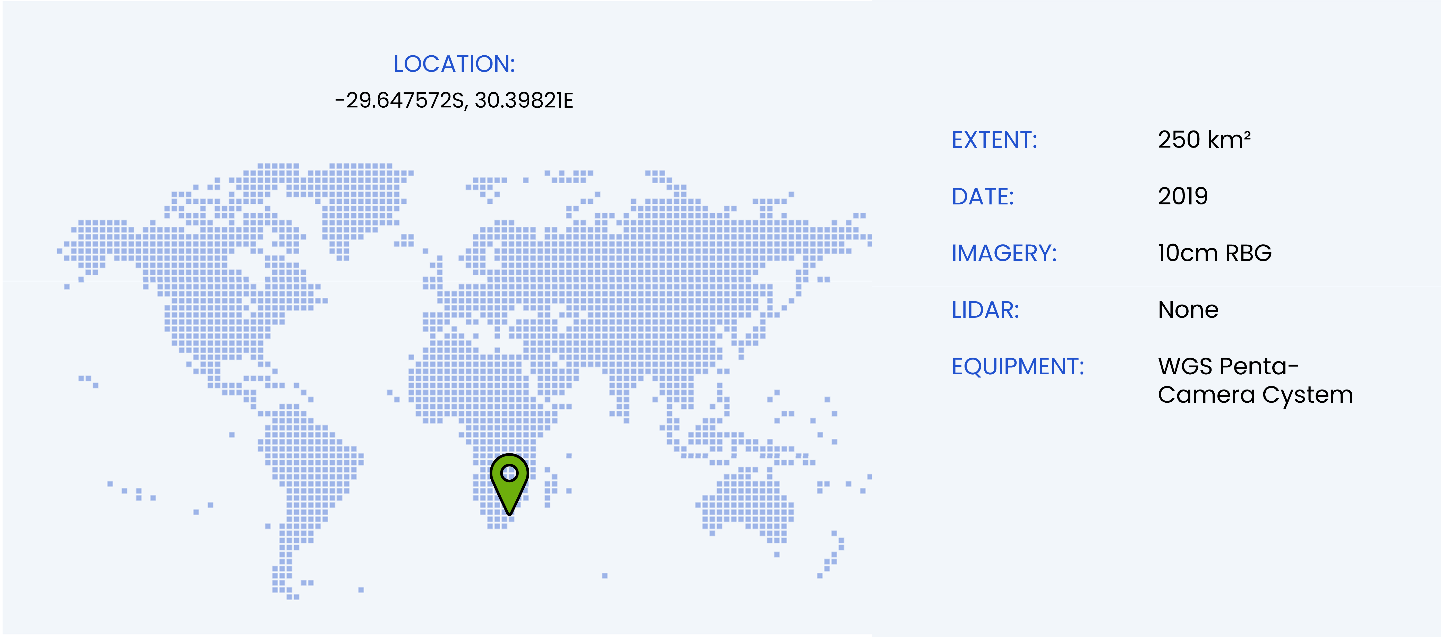
- South Africa
A purpose-built oblique imaging, multicamera rig was recently developed at WGS. The system is comprised of five cameras, synchronised and linked to survey grade GNSS and inertial measurement systems. Each camera captures a different orientation: forward, right, back and left facing 50mm cameras point 23° below the horizon and a single 24mm camera faces straight down. With the correct flight planning all faces of a particular façade will be covered by multiple frames, from multiple angles, resulting in a robust object geometry.
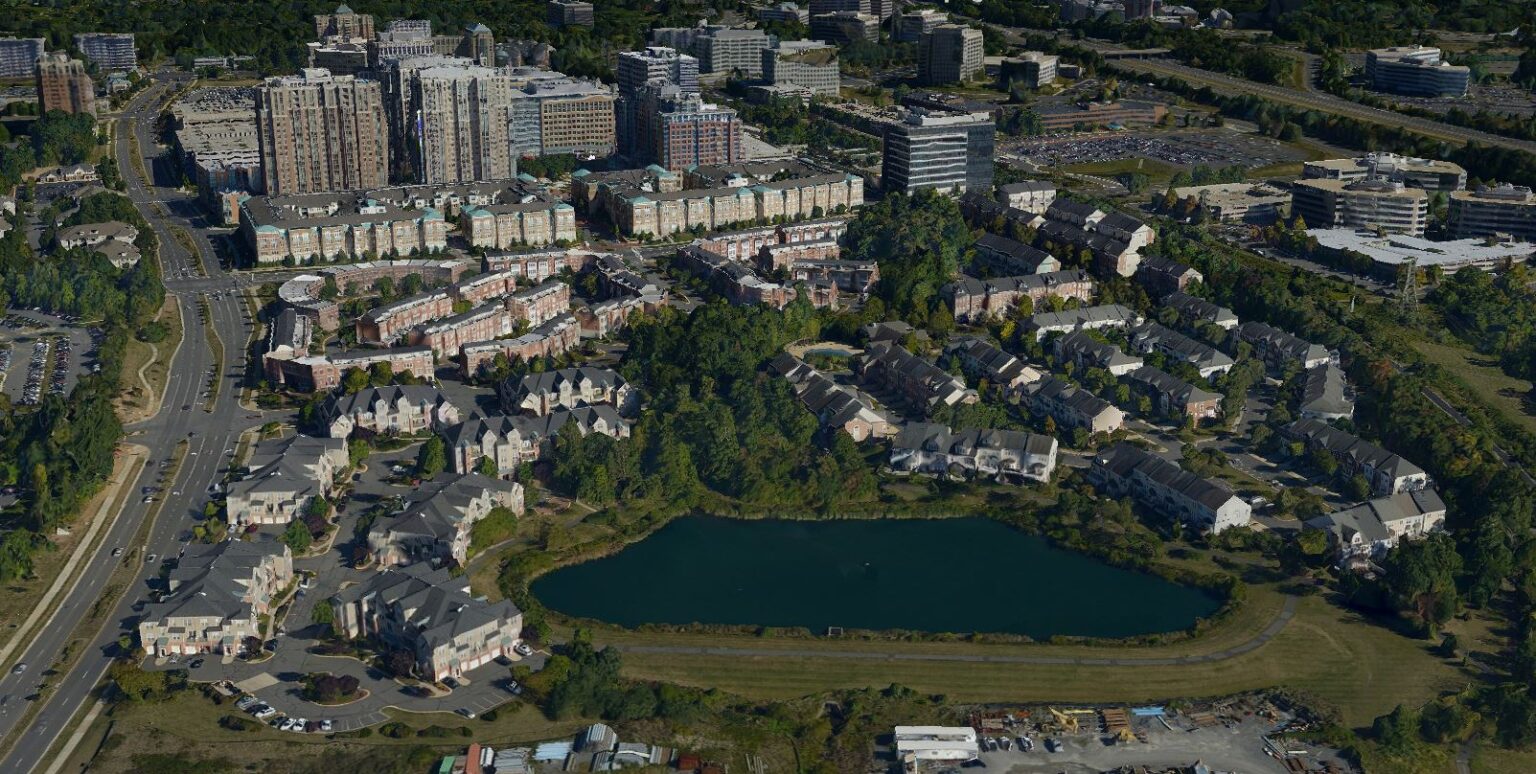
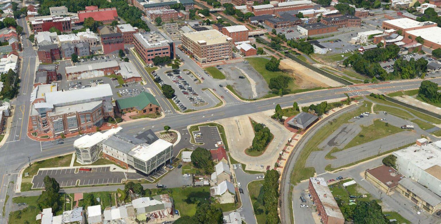
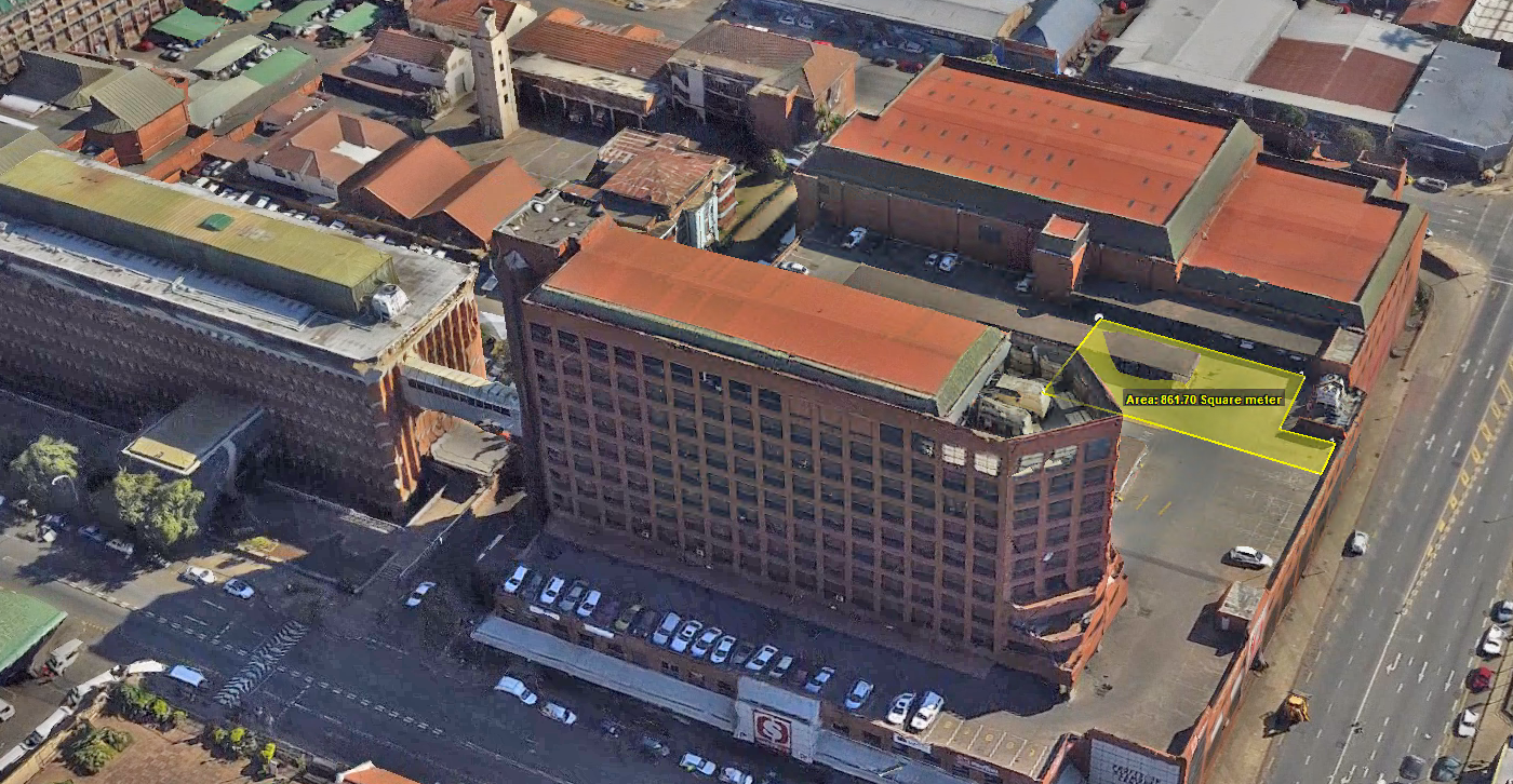
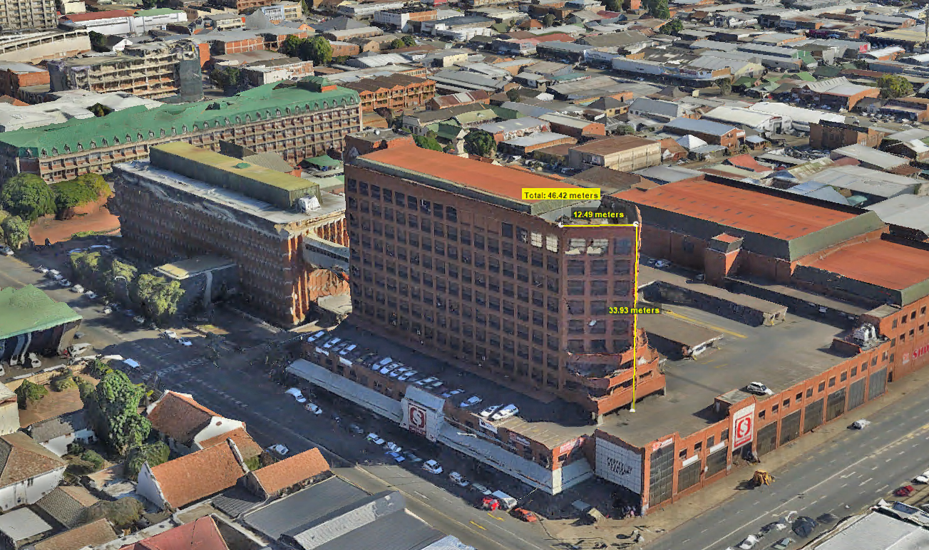
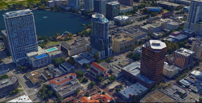
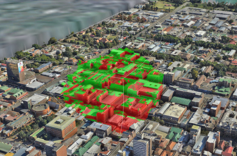
The result is a digital twin of the area flown. A very high-density point cloud is derived using photogrammetric techniques combined with high end computing hardware. This point cloud is used to generate a geometric model of the city. A texture is aggregated from the input imagery for each model and draped of the triangulated faces to produce a photorealistic model. This model is mapped to real world coordinates in all three dimensions which allows every surface to be measured. Road width, heights of streetlights, angle of roof sloop and viewsheds can all be measured. With this exciting new technology, entire cities can be digitally hosted online and be fully navigable, with every aspect of the city capable of being measured, recorded and catalogued digitally from any computer with an internet connection.
