Project Overview
The Princeton University team embarked on a challenging LiDAR survey over Gorongosa National Park. Due to unpredictable environmental factors, including wildfires from a lingering drought, the project required detailed planning and quick adjustments. Consequently, the team had to remain flexible and adapt to rapidly changing conditions throughout the mission.
Flight and Data Collection and Processing
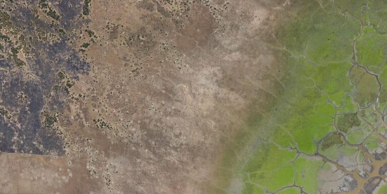
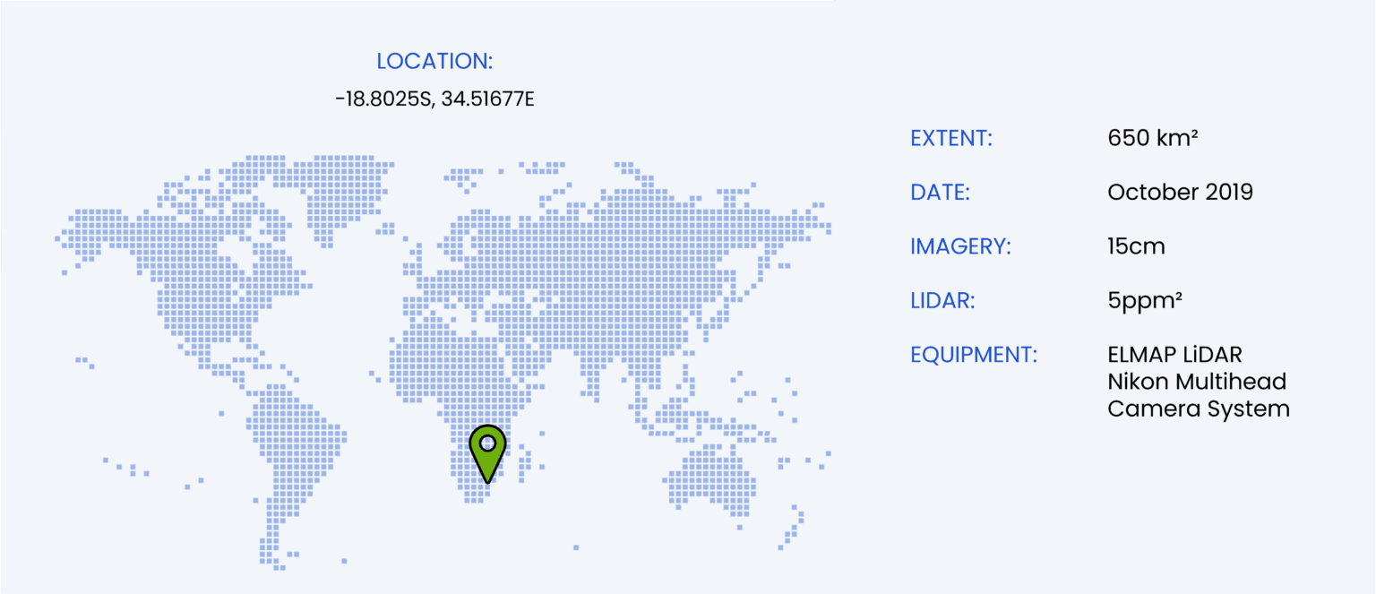
After Cyclone Idai, the WGS team, consisting of a pilot and equipment operator, traveled to Beira via Nelspruit. Upon arrival, they immediately contacted local stakeholders to assess conditions on-site. Their primary concern was the wildfires, which had the potential to obscure the LiDAR data and affect the imagery. In response, they made the decision to take to the skies and evaluate the situation firsthand. Fortunately, the wind shifted to the west, which cleared the way for safe operations. This allowed the team to proceed with confidence, and the conditions remained favorable throughout the day.
As a result, the team successfully captured nearly 500GB of LiDAR data and over 4000 frames of multi-head imagery. That evening, the operator performed preliminary data processing to ensure everything worked as expected. Additionally, the operator checked for any anomalies to ensure data integrity.
The following day, conditions were similarly favorable. Although the team had concerns about the shifting fires and winds, they found that the northern sector was clear enough to finalize. In the meantime, helicopters conducting game capture in the area made contact with the crew. They confirmed that the small difference in elevation between their aircraft made it safe to continue the survey. Consequently, the survey continued smoothly, and the team completed the mission without any issues.
After landing in Beira, the team processed the remaining data. Later that evening, they confirmed the mission’s success and signed off on their work.
Final Data Analysis
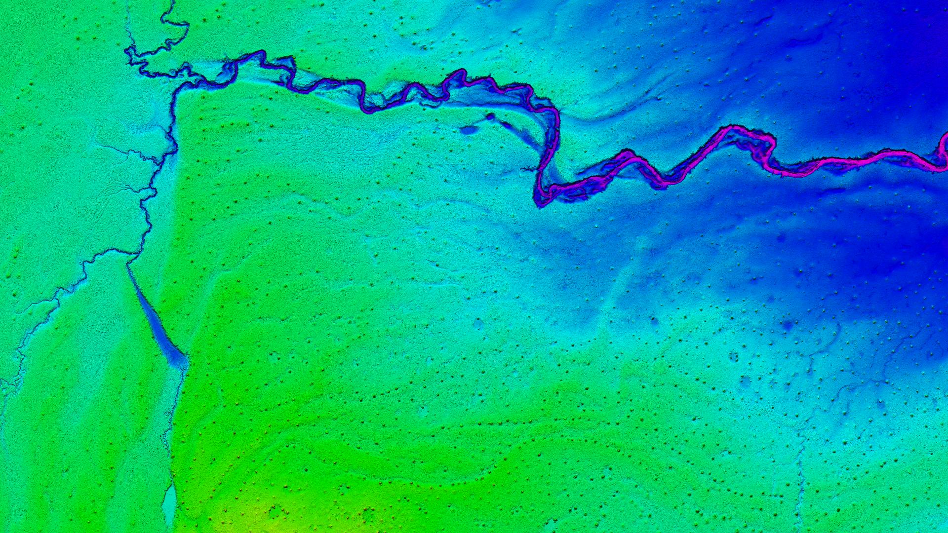
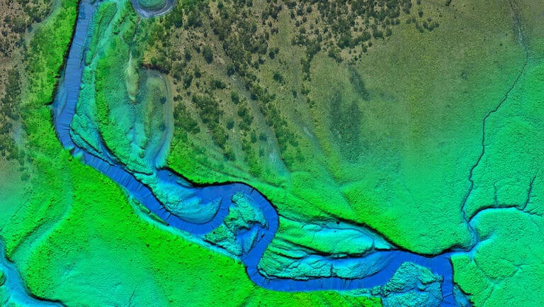
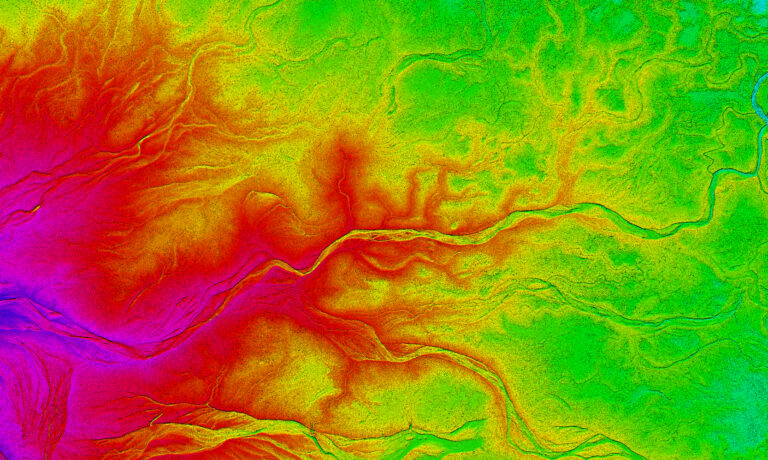
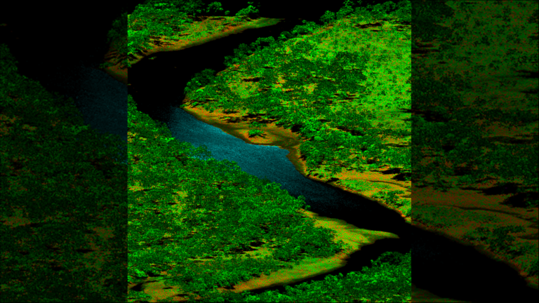
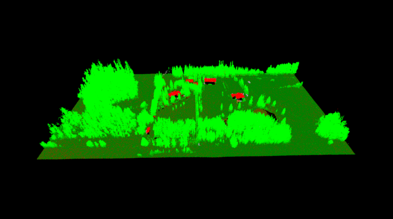
Back at the office, the team began final data processing. They needed a classified LiDAR point cloud and a 15cm orthophoto for a machine learning algorithm designed to locate termite mounds. These mounds, hidden among dense foliage, are nearly invisible to the naked eye. However, once the laser data was processed and classified, the termite mounds became clearly visible in the bare-earth DTM and LiDAR cross-section. Thus, the algorithm was able to accurately identify the termite mounds, despite the challenging conditions. This successful LiDAR survey will now contribute to further ecological studies and conservation efforts in the park.

