ENGINEERING & CONSTRUCTION AERIAL SURVEYS
Precision Data for Smarter Planning, Faster Execution, and Safer Projects.
ABOUT THE SOLUTION
TRANSFORMING ENGINEERING PROJECTS WITH AERIAL SURVEYING
Aerial surveys provide the engineering sector with highly accurate geospatial data critical for effective planning, design, and project management. By capturing detailed topographic and structural information, they enhance decision-making, reduce project risks, and improve overall efficiency. This technology supports a wide range of engineering applications from initial site assessments to long-term construction monitoring.
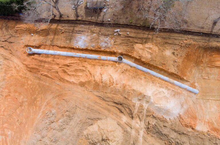
Capture detailed elevation data for site planning, design optimization, and earthwork calculations.
Provide accurate records of completed structures for compliance verification and future reference.
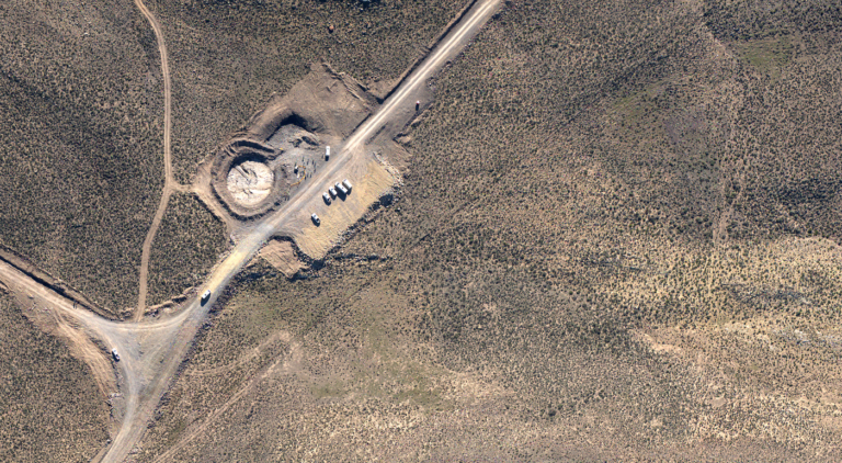
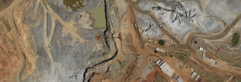
Assess undeveloped land quickly with comprehensive data on terrain, vegetation, and existing features.
Track project milestones, identify delays, and ensure quality standards throughout the build.
Evaluate roads, rail, utilities, and service networks for maintenance, expansion, and safety assessments.
KEY FEATURES
PRECISION DATA BUILT FOR ENGINEERING EXCELLENCE
Empower your engineering projects with cutting-edge aerial survey solutions designed to deliver clarity, accuracy, and actionable insights. Our advanced data collection tools ensure you have the critical information needed to streamline planning, reduce risks, and drive smarter decision-making at every stage of your project.
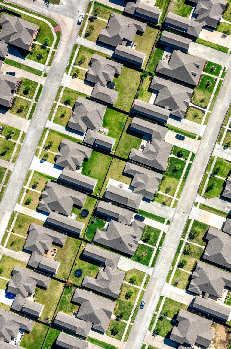
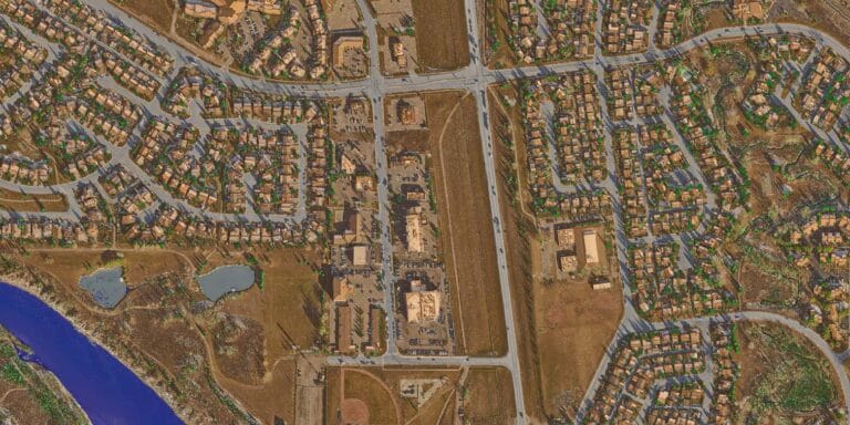
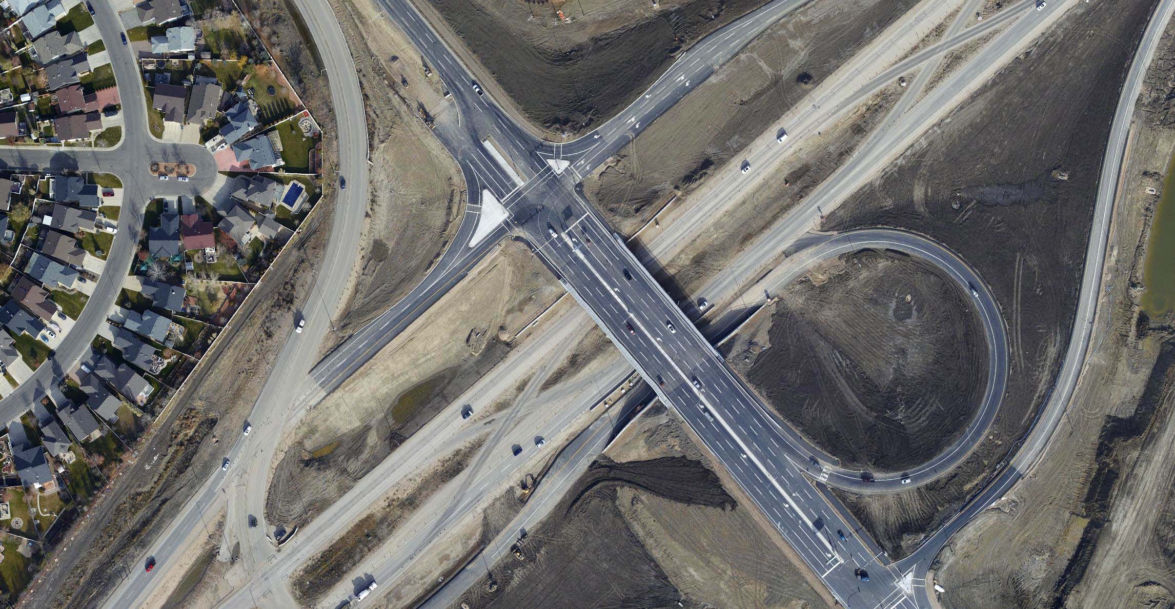
Capture aerial visuals for planning, progress tracking, project documentation or site analysis with pinpoint accuracy.
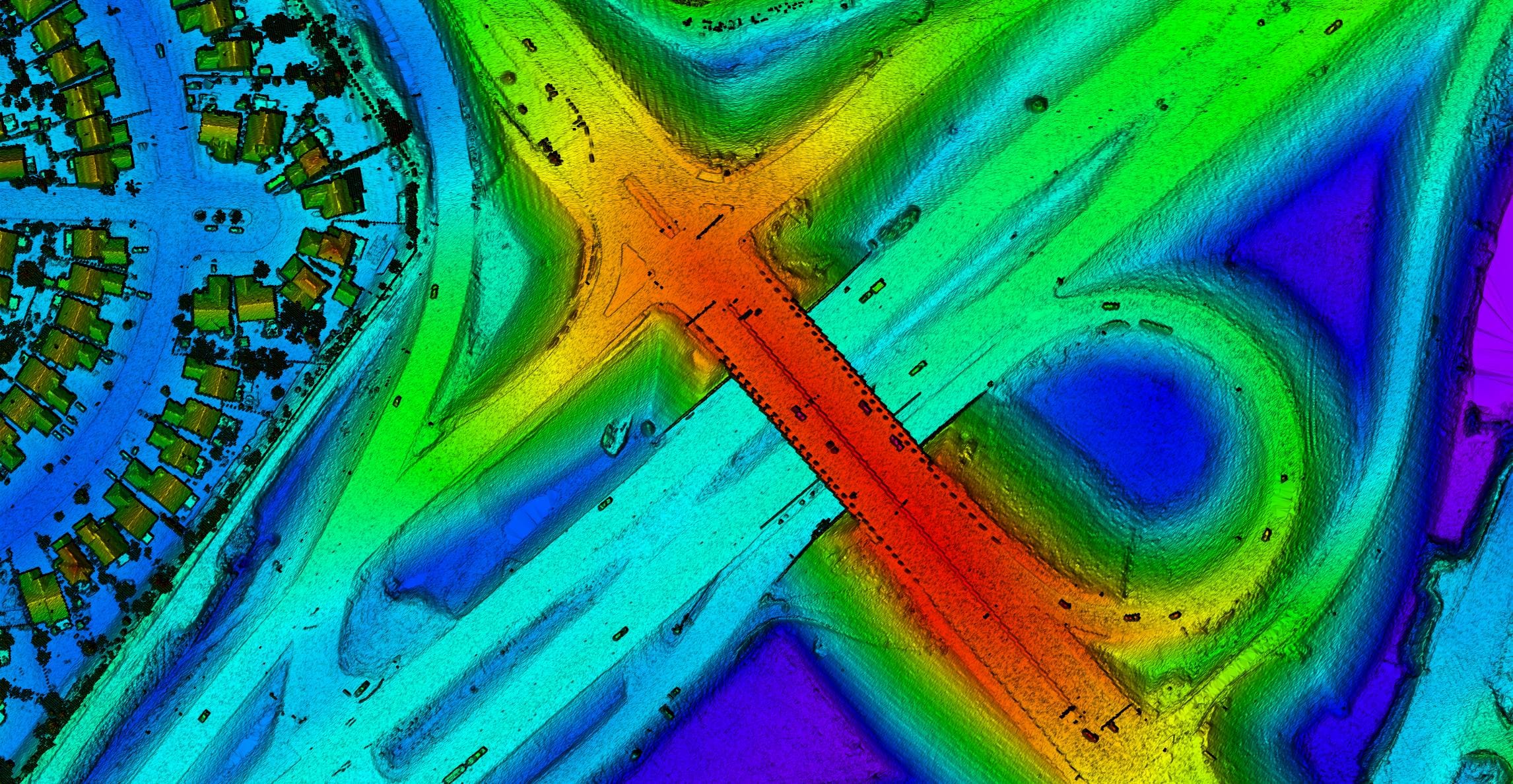
Unlock dense, high-resolution point cloud data for precise elevation models and volumetric analysis.
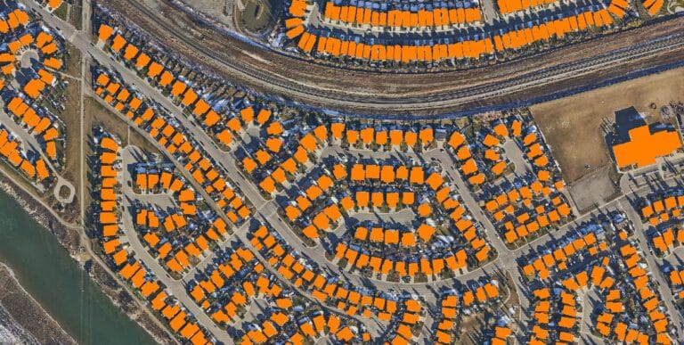
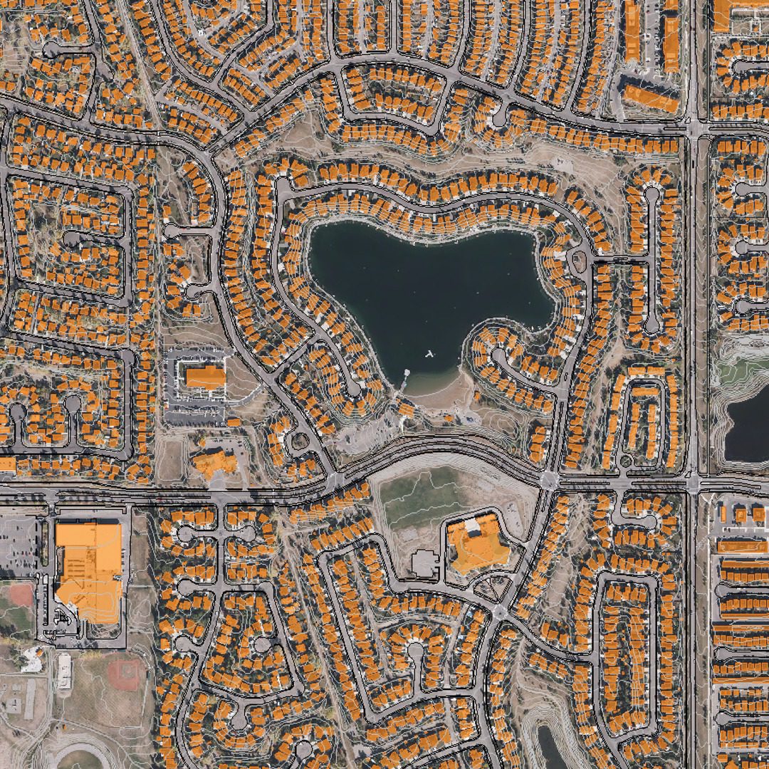
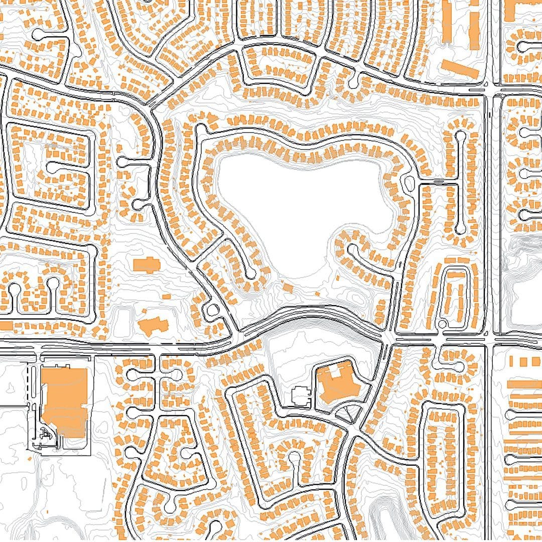
Create centimeter-accurate maps of just about anything to guide site design, earthworks, and infrastructure planning.
Seamlessly incorporate survey data into GIS platforms for enhanced visualization, analysis, and resource management.
Create immersive, data-rich 3D models for design simulations, structural assessments, and as-built verification.
INDUSTRY APPLICATIONS
POWERING ENGINEERING PROJECTS ACROSS SECTORS
Our aerial survey solutions are trusted across a diverse range of engineering fields, delivering the precision data needed for effective design, monitoring, and project success. Whether you’re planning large-scale infrastructure or managing site development, our expertise supports projects from concept to completion.
HOW IT WORKS
SEAMLESS AERIAL SURVEYING FOR ENGINEERING PROJECTS
We’ve streamlined our aerial survey process to deliver fast, accurate, and actionable data to keep your projects moving forward. Our end-to-end service ensures you get the insights you need with minimal disruption to your operations.
FREQUENTLY ASKED QUESTIONS
Our LiDAR surveys achieve vertical accuracy within ±5 cm and horizontal accuracy within ±10 cm, depending on terrain and flight altitude. Photogrammetry data typically delivers accuracy within ±2 pixels of ground sample distance (GSD).
e can deliver data in all standard coordinate systems, including WGS84, UTM, and national grids such as OSGB36. Custom projections and local datum transformations are also supported upon request.
Our LiDAR captures can exceed 50 points per square meter, while our aerial imagery can achieve resolutions as fine as 2 cm per pixel, providing highly detailed surface models and orthophotos.
We deploy a network of surveyed ground control points (GCPs) and check points using GNSS RTK technology to ensure data accuracy, even in complex or vegetated terrains.
We provide classified LiDAR point clouds, digital terrain models (DTMs), digital surface models (DSMs), orthomosaic imagery, 3D models, and GIS-compatible vector data, all tailored to project specifications.
DELIVERING HIGH-QUALITY AERIAL SURVEYS WHEREVER YOU NEED
GLOBAL REACH, LOCAL PRECISION
Our services are available worldwide. Whether your project is in remote areas, across challenging terrain, or in urban landscapes, our team can deploy an equipped aircraft to capture precise data wherever you need it.
With operational capabilities spanning continents, we bring advanced geospatial solutions directly to your location, ensuring that distance and geography are never barriers to high-quality aerial data.
SOUTH AFRICA
#203, Worlds View Office Park,
Worlds View Drive, Gillitts, 3610
Tel: +27 (0)31 765 1424
WHO WE’VE HELPED
YOU’RE IN GOOD COMPANY
We are continuously engaged in fascinating projects with inspirational clients!





READY TO ELEVATE YOUR CONSTRUCTION OPERATIONS?
Leverage the power of LiDAR and aerial imagery to make data-driven decisions and achieve your management goals.
