ABOUT THE SOLUTION
ADVANCED ENVIRONMENTAL MONITORING WITH AERIAL SURVEYING
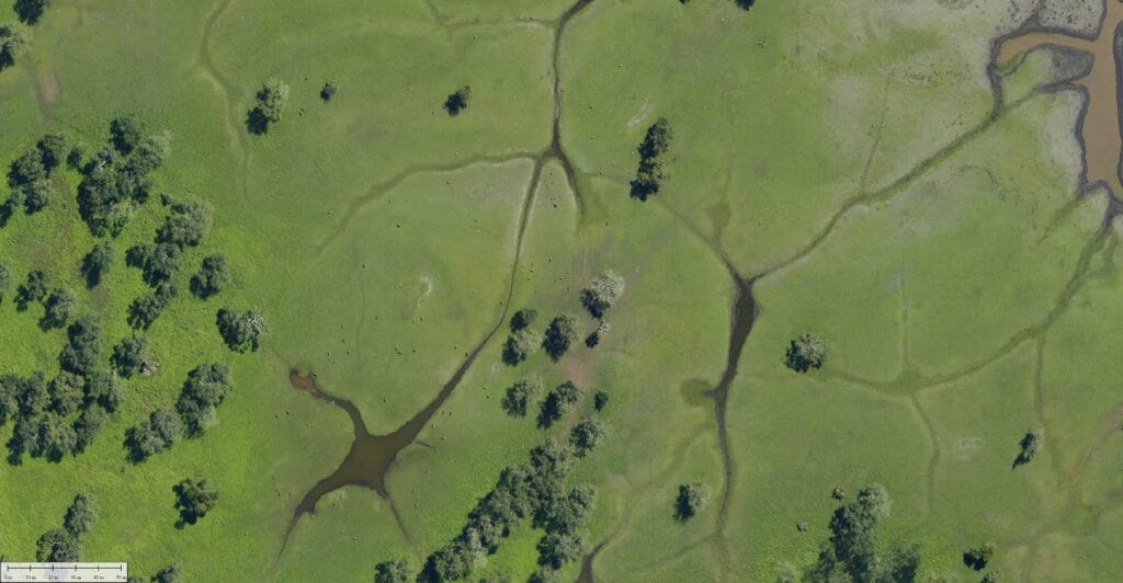
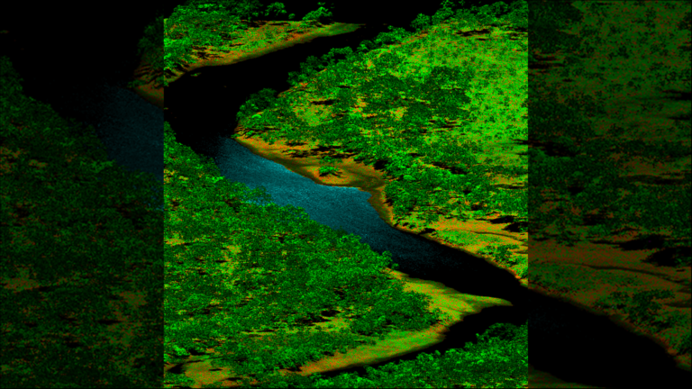
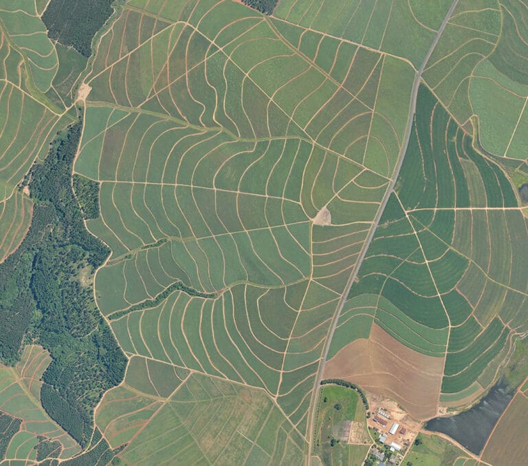
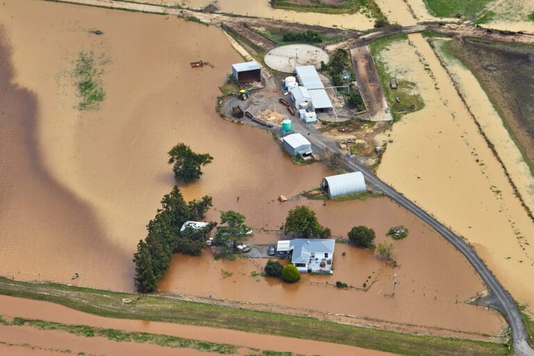
Aerial surveys provide critical geospatial insights for environmental research, conservation, and land management. High-resolution imagery and LiDAR technology allow for accurate monitoring of ecosystems, biodiversity, land use changes, and climate impact. By delivering detailed, data-driven analysis, these surveys help organizations make informed decisions to protect and manage natural resources effectively.
Monitor vegetation health, wildlife habitats, and ecosystem changes.
Track deforestation patterns, urban expansion, and agricultural impacts.
Analyze shoreline erosion, coral reef health, and wetland conservation.
Detect environmental changes caused by rising temperatures, droughts, and extreme weather events.
Identify water, air, and soil pollution sources for environmental remediation.
KEY FEATURES
CUTTING-EDGE TECHNOLOGY FOR ENVIRONMENTAL SURVEILLANCE
Using advanced aerial data collection methods, we provide accurate, up-to-date environmental intelligence.
Capture real-time visuals for large-scale environmental assessments.
Generate detailed maps to study landscape changes and canopy density.
Analyze vegetation health, detect pollution, and assess water quality.
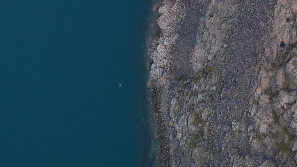
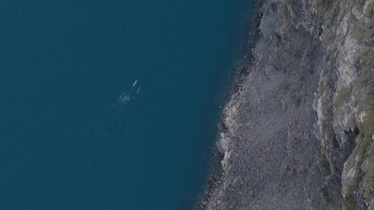
Monitor animal movement, heat patterns, and temperature fluctuations.
Combine aerial data with GIS tools for enhanced environmental modeling and analysis.
INDUSTRY APPLICATIONS
SUPPORTING ENVIRONMENTAL CONSERVATION & POLICY
Aerial surveys provide valuable insights for various environmental sectors, enabling data-driven conservation efforts.
HOW IT WORKS
SEAMLESS SURVEYING FOR ENVIRONMENTAL PROJECTS
We’ve streamlined our aerial survey process to deliver fast, accurate, and actionable data to keep your projects moving forward. Our end-to-end service ensures you get the insights you need with minimal disruption to your operations.
FREQUENTLY ASKED QUESTIONS
They provide accurate, large-scale monitoring of landscapes, habitats, and natural resources, helping organizations track changes over time and implement conservation strategies.
Our surveys capture vegetation indices, water quality data, thermal imaging, topography, and land use changes to support environmental research and policy-making.
LiDAR and multispectral imaging can detect environmental shifts with high precision, often within centimeters, providing reliable data for climate change assessments.
Yes, specialized imaging techniques can identify water pollution, oil spills, soil degradation, and air quality issues for early detection and mitigation.
Aerial surveys cover vast areas quickly and efficiently, reducing costs while providing higher-resolution data than many traditional ground-based methods.
DELIVERING HIGH-QUALITY AERIAL SURVEYS WHEREVER YOU NEED
GLOBAL REACH, LOCAL PRECISION
Our services are available worldwide. Whether your project is in remote areas, across challenging terrain, or in urban landscapes, our team can deploy an equipped aircraft to capture precise data wherever you need it.
With operational capabilities spanning continents, we bring advanced geospatial solutions directly to your location, ensuring that distance and geography are never barriers to high-quality aerial data.
SOUTH AFRICA
#203, Worlds View Office Park,
Worlds View Drive, Gillitts, 3610
Tel: +27 (0)31 765 1424
WHO WE’VE HELPED
YOU’RE IN GOOD COMPANY
We are continuously engaged in fascinating projects with inspirational clients!


READY TO ELEVATE YOUR ENVIRONMENTAL PROJECTS?
Leverage the power of LiDAR and aerial imagery to make data-driven decisions and achieve your management goals.
