PROFESSIONAL AERIAL IMAGING SOLUTIONS
High-Precision, metric mapping solutions for the most demanding projects.
SETTING THE STANDARD IN AERIAL IMAGING
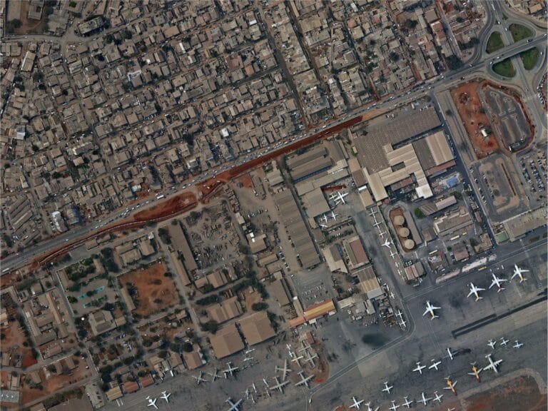
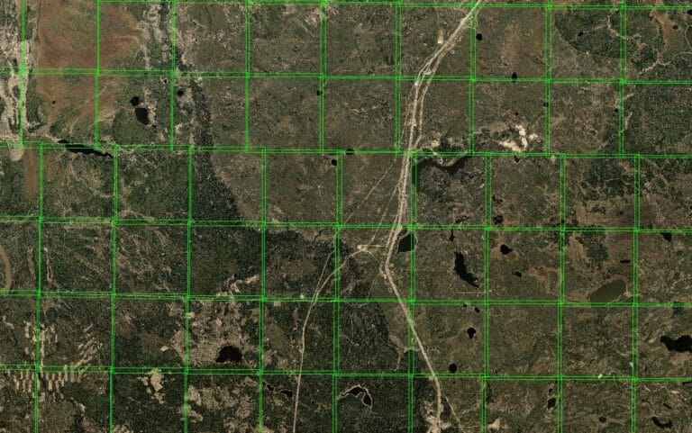
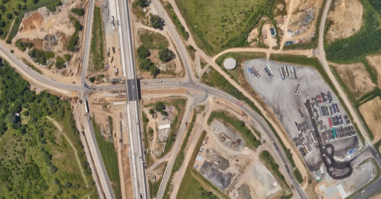
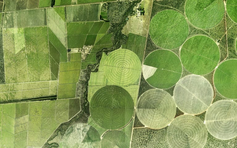
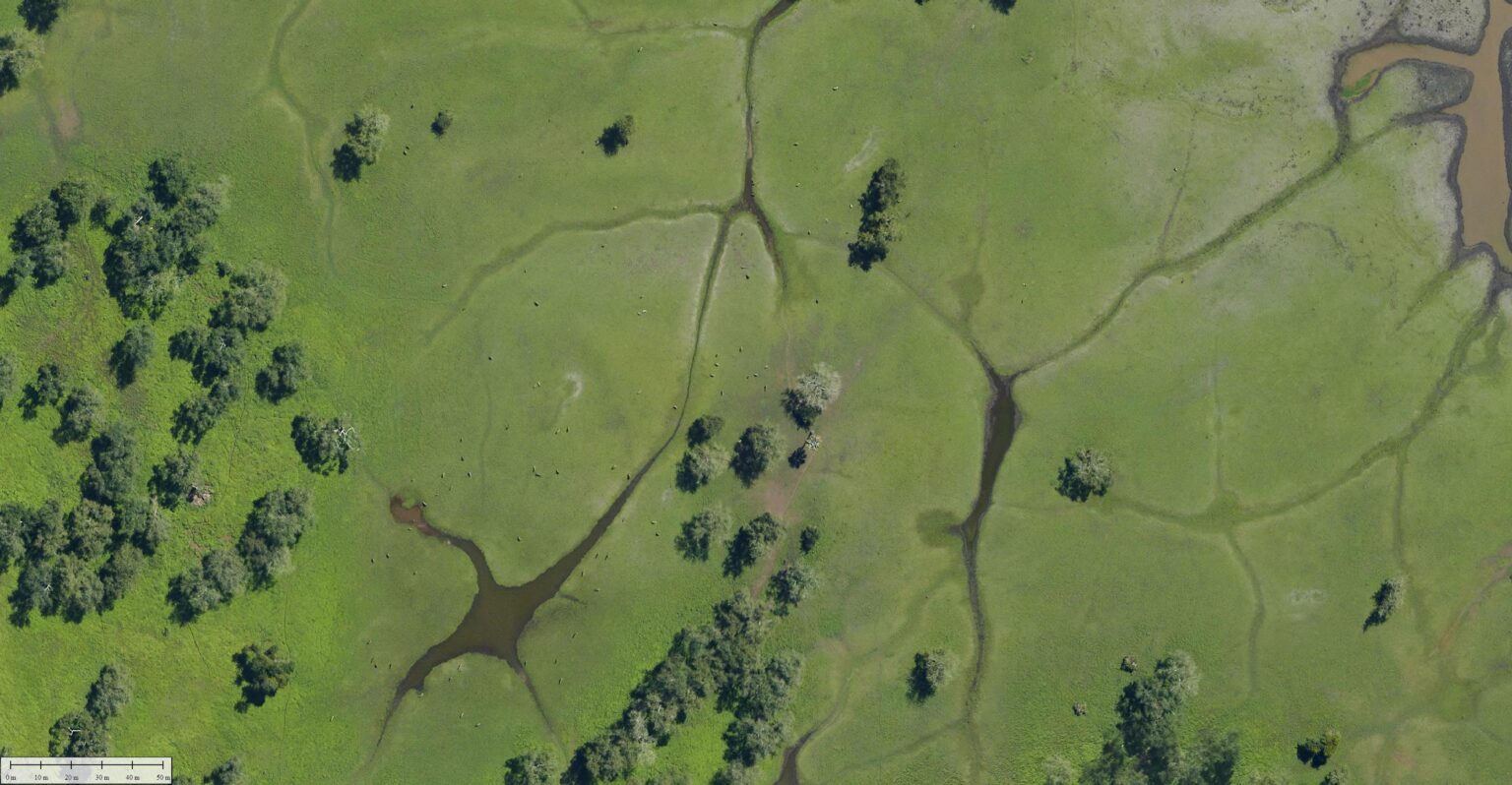
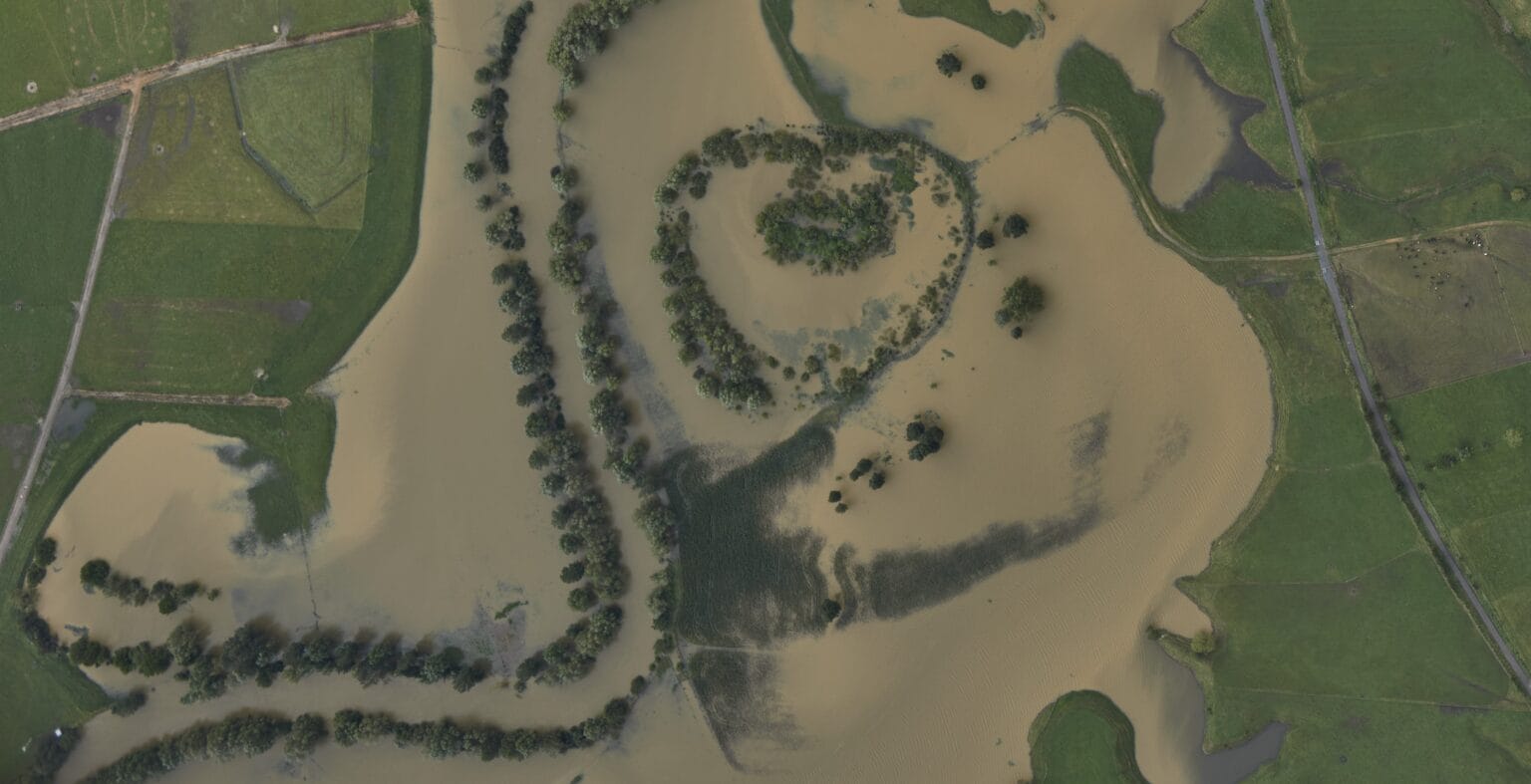
Our aerial imaging services provide high-resolution, large-format data designed to meet the demanding needs of industries such as engineering, urban planning, and environmental management.
By using manned aircraft with advanced large-format mapping cameras, we capture comprehensive data over vast areas with unmatched accuracy and clarity.
- Professional-grade large-format mapping cameras for superior image resolution.
- Ideal for complex, large-scale projects requiring precise data.
- Efficient data capture across challenging terrains and expansive coverage areas.
ACCURACY WITHOUT COMPROMISE
Our large-format aerial imaging solutions provide unparalleled accuracy and scale, capturing data over extensive areas in a fraction of the time needed by other methods. With state-of-the-art mapping cameras mounted on manned aircraft, we deliver consistent, high-quality data for every project.
Capture precise, detailed imagery across large areas without loss of quality.
Large-format cameras and manned aircraft ensure rapid coverage, ideal for time-sensitive projects.
Professional-grade equipment ensures stable, high-quality output under various conditions.
SURVEY SOLUTIONS TAILORED TO YOUR NEEDS
COMPREHENSIVE AERIAL IMAGING CAPABILITIES
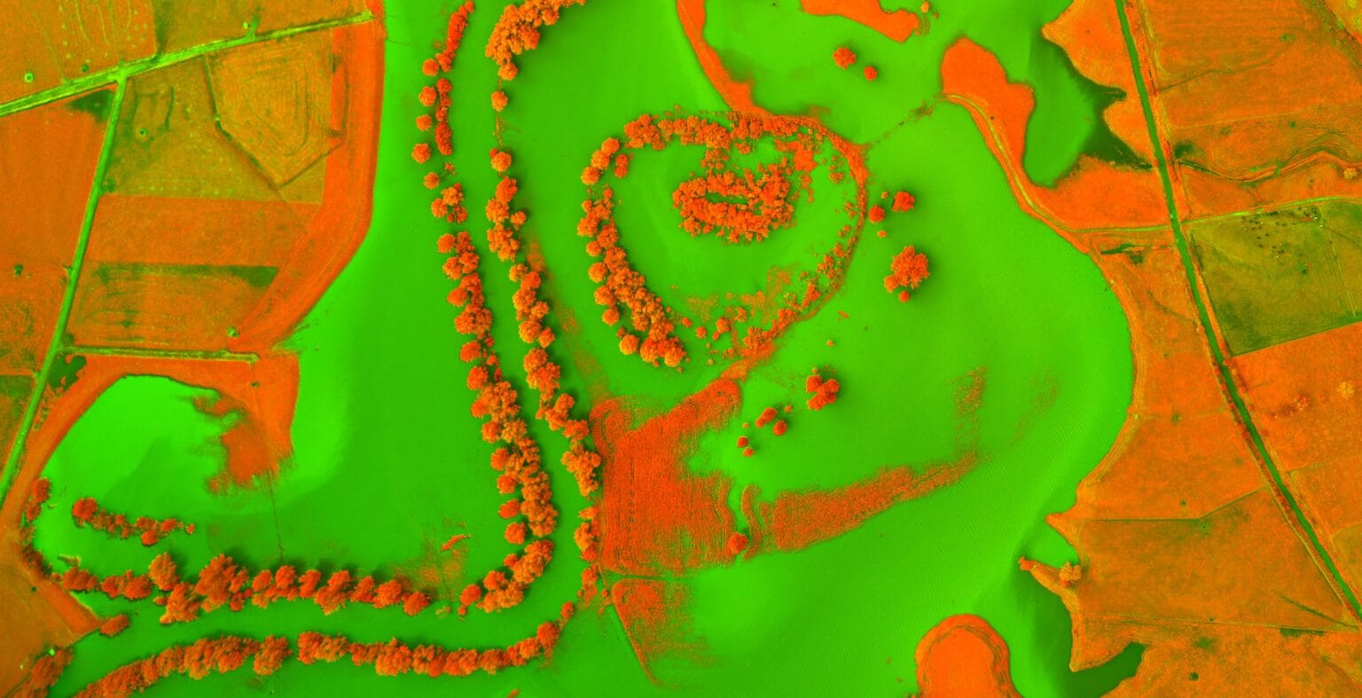
Geo-referenced aerial images with precise spatial accuracy for mapping and planning. High-Resolution DTM (Digital Terrain Models). Detailed topography data for land use planning and engineering. 3D Urban Modelling: Accurate 3D representations of urban areas for city planning and smart city projects.
OUR AERIAL IMAGING PROCESS
3-STEP PROCESS VISUALISATION:
FREQUENTLY ASKED QUESTIONS
Orthophoto mapping involves creating geometrically corrected aerial images where distortions caused by terrain, camera angles, and lens effects are removed. Unlike standard aerial photography, orthophotos have consistent scale and can be used for accurate measurements.
Aerial imaging and orthophotos are used in industries like urban planning, construction, agriculture, environmental monitoring, mining, and infrastructure development. Applications include land-use analysis, topographic mapping, and asset management.
Orthophotos offer high levels of accuracy, often achieving sub-centimetre precision when processed with accurate ground control points (GCPs) and high-resolution cameras or sensors.
Generally one wants clear skies and low wind for capturing high-quality imagery but we do also regularly collect imagery under cloud. This is necessary when time is a priority and consistent coloring is not as important (eg construction monitoring, disaster mapping)
The turnaround time depends on the project size, data volume, and processing complexity. Small projects can be delivered on the same day, while larger, more complex surveys may take a few weeks.
Click here to view the full range of our services.
PRECISION DATA COLLECTION FROM OUR STRATEGIC BASES
AERIAL IMAGING COVERAGE
From our worldwide strategic bases, we provide aerial imaging services to clients worldwide. From urban centers to remote landscapes, our team has the capacity to capture high-resolution data wherever your project is located.
SOUTH AFRICA
#203, Worlds View Office Park, Worlds View Drive, Gillitts, 3610
Tel: +27 (0)31 765 1424
WHO WE’VE HELPED
YOU’RE IN GOOD COMPANY
We are continuously engaged in fascinating projects with inspirational clients!





START YOUR AERIAL IMAGING PROJECT TODAY
Our team is ready to deliver precise, large-scale data to meet the unique needs of your project. Contact us today to discuss your requirements and receive a customized quote.
