Forestry Inventory Mapping
- Alberta, Canada
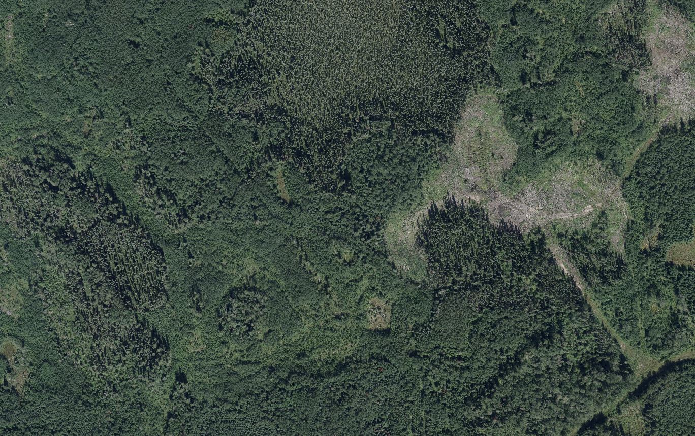
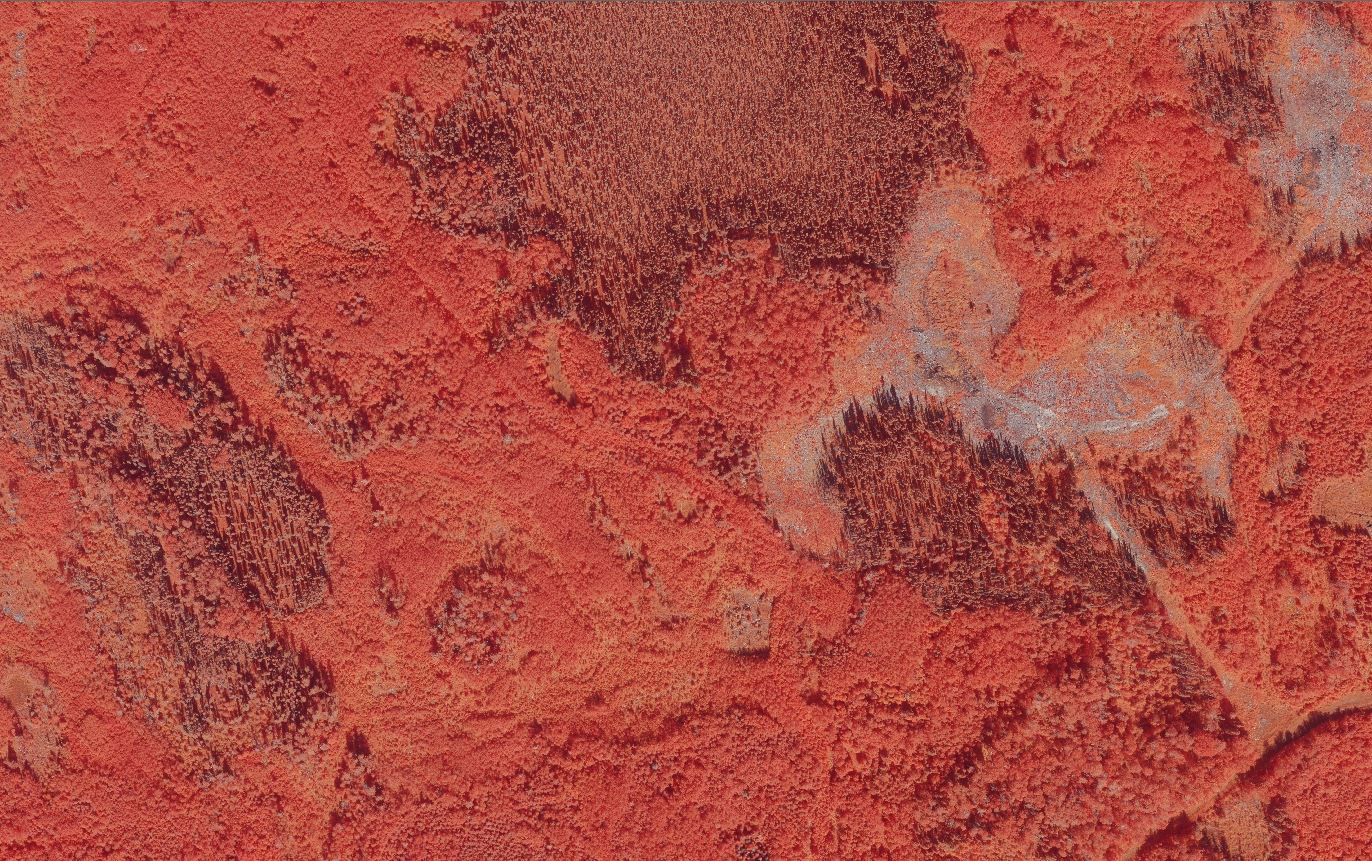
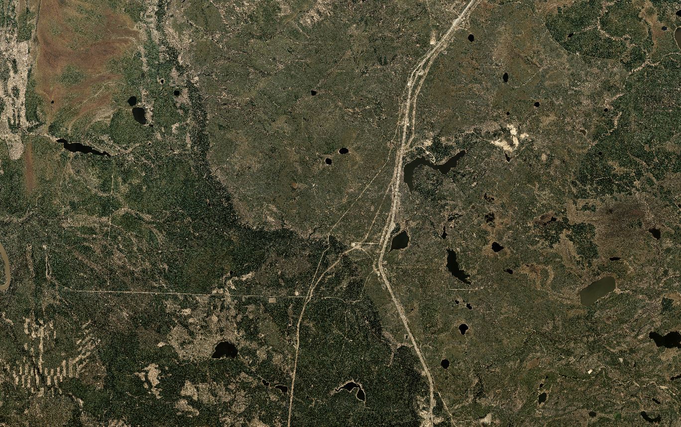
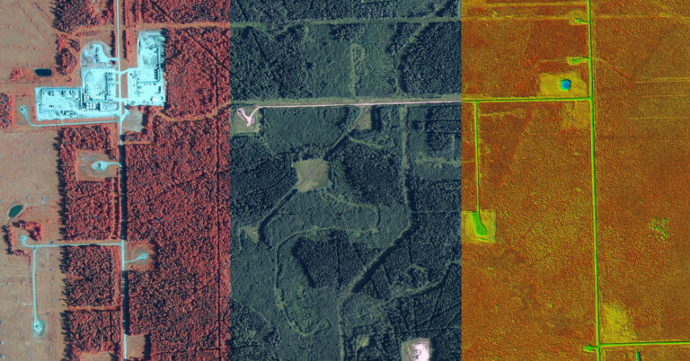
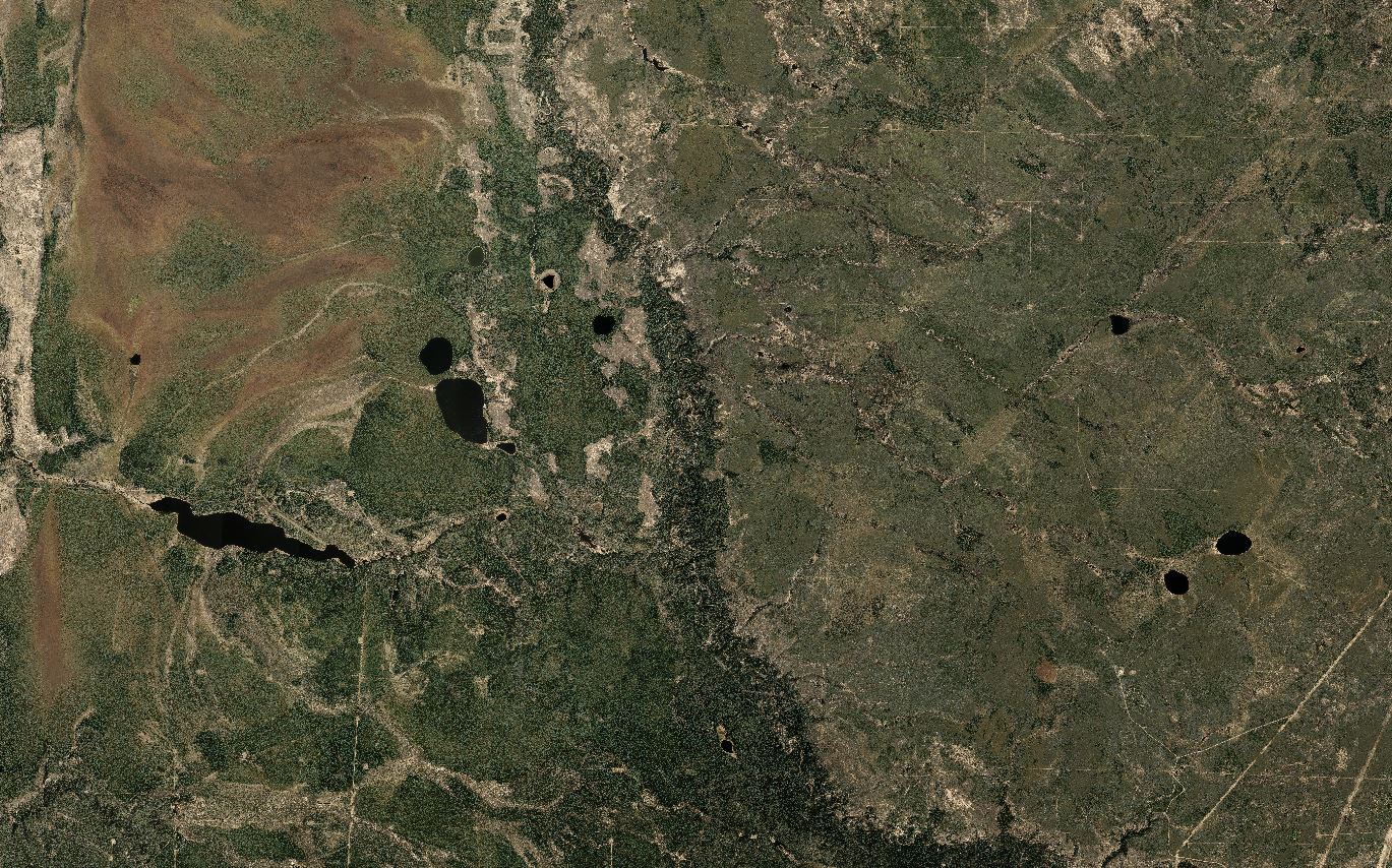
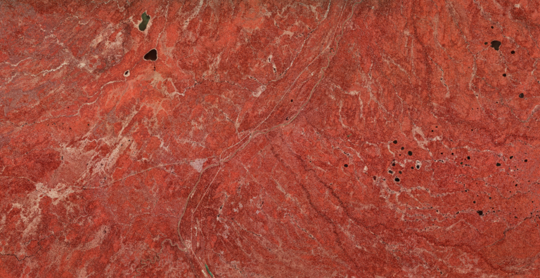
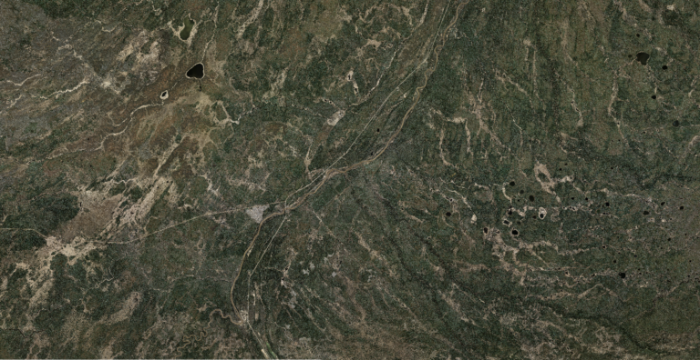
WGS flies areas included in the Alberta Forest Management Agreements for long-term, renewable forestry on a yearly basis using multispectral sensors which capture additional wavelengths of light. The sensor captures infrared light in addition to visible bands, allowing various vegetation indices to be calculated which provide the forestry industry valuable insight into the overall health of the timber.
WGS uses a large format, multispectral Vexcel Ultracam to maximise the efficiency of the survey. The Ultracam is designed to provide a very large footprint yet still capture very high-resolution images. This allows the survey aircraft to cover a larger area from a higher altitude at the same resolution.

