Maximizing accuracy and productivity in forestry with innovative solutions.
ABOUT THE TECHNOLOGY
Aerial LiDAR and multi-spectral imagery are transforming forestry management by providing detailed and actionable insights into terrain, vegetation, and resource allocation. These advanced technologies enable managers to streamline operations, enhance sustainability, and reduce costs.
KEY FEATURES
Accurate measurement of tree heights and canopy structure on a 20x20m grid for effective stand analysis and volume estimation.
Advanced LiDAR analytics for precise tree counting and identification of stand density.
Generation of tree volume metrics using point cloud data for optimized yield forecasting.
Seamless DTMs for terrain analysis and watershed management.
Identify stress indicators and monitor tree vitality using vegetation indices like NDVI.
Differentiate between tree species based on spectral signatures for biodiversity assessments.
APPLICATIONS
Harvest Planning → Vegtation Management → Stand Optimisation
OUR PROCESS
LiDAR (Light Detection and Ranging) is a remote sensing technology that uses laser pulses to create detailed 3D models of terrain and vegetation. In forestry, it helps measure tree height, canopy width, and trunk volume, map terrain features, and monitor forest health, enabling precise planning and resource allocation.
LiDAR uses high-frequency laser pulses that can pass through small gaps in forest canopies. This allows it to capture data about both the vegetation above and the ground beneath, providing accurate terrain and vegetation mapping even in dense forests.
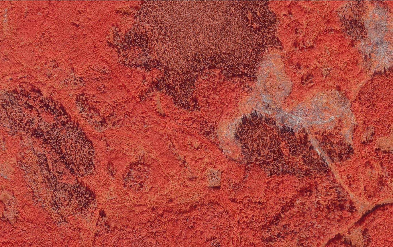
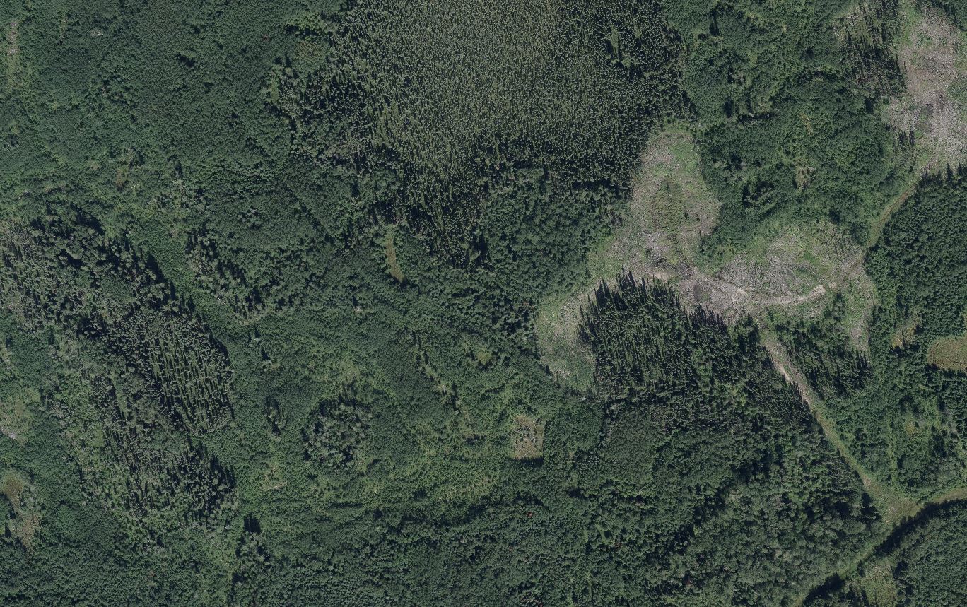
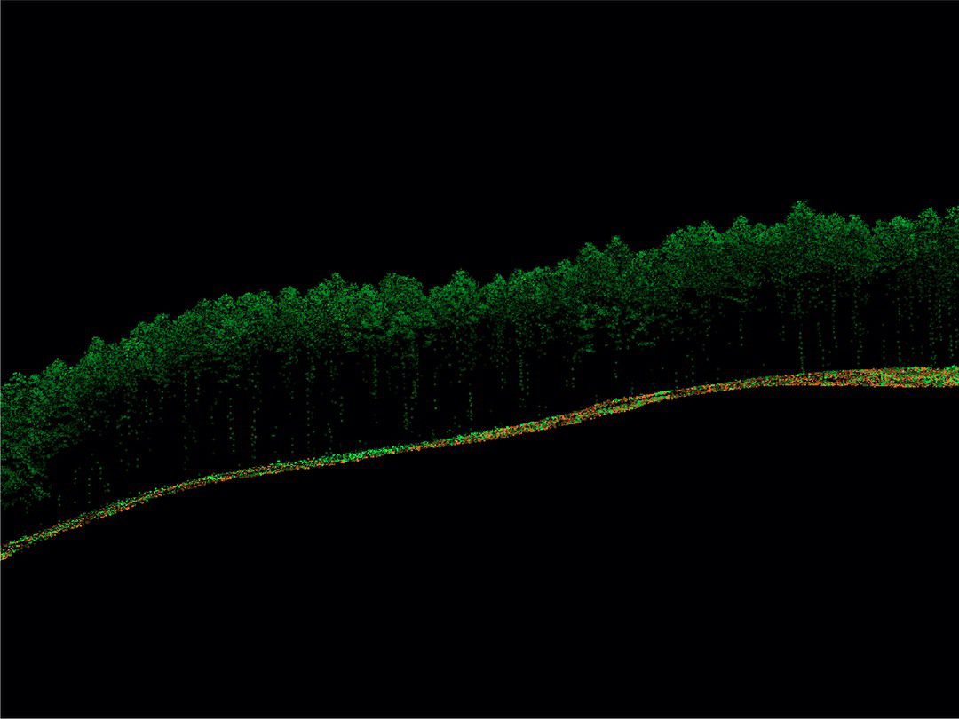
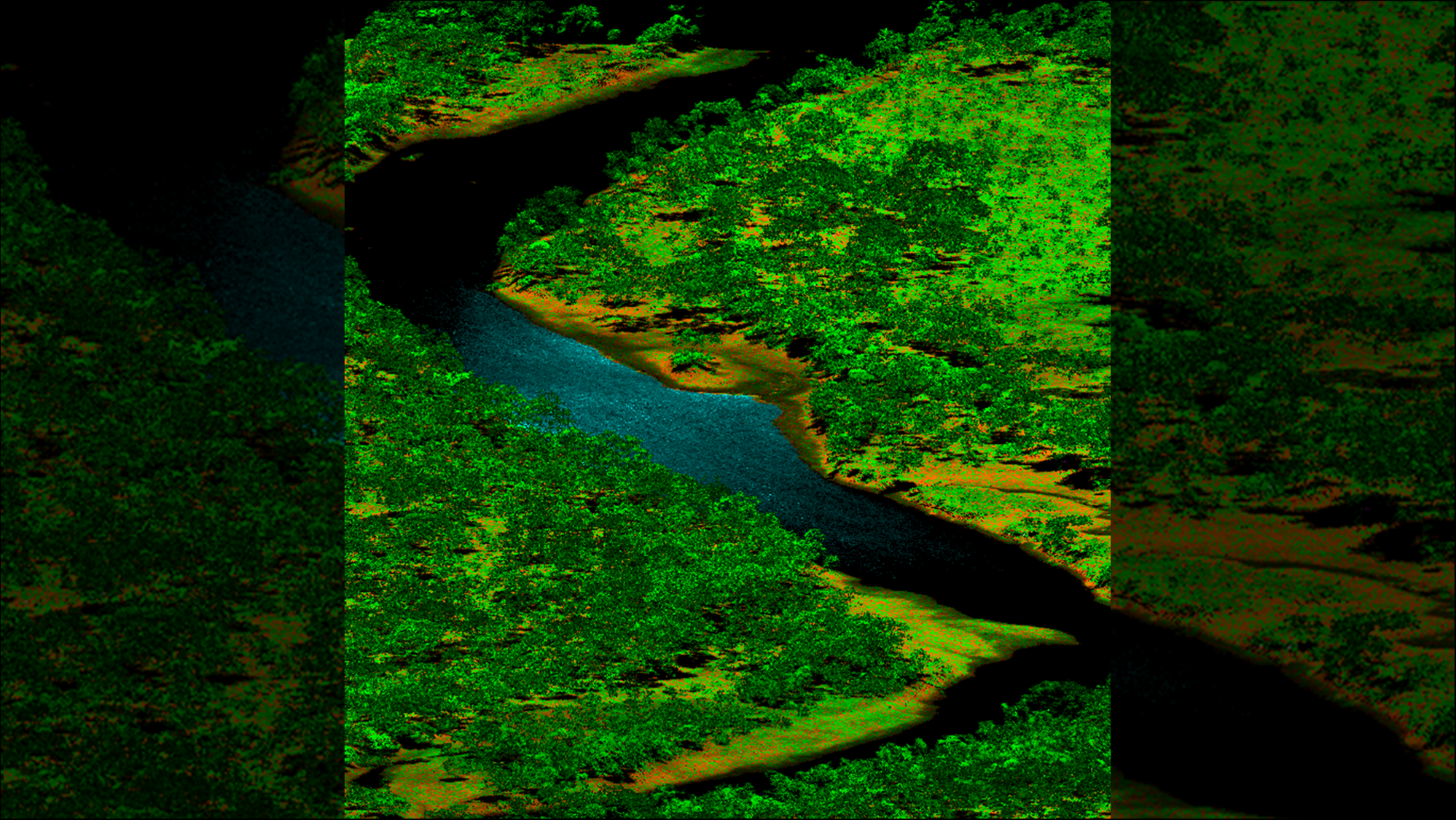
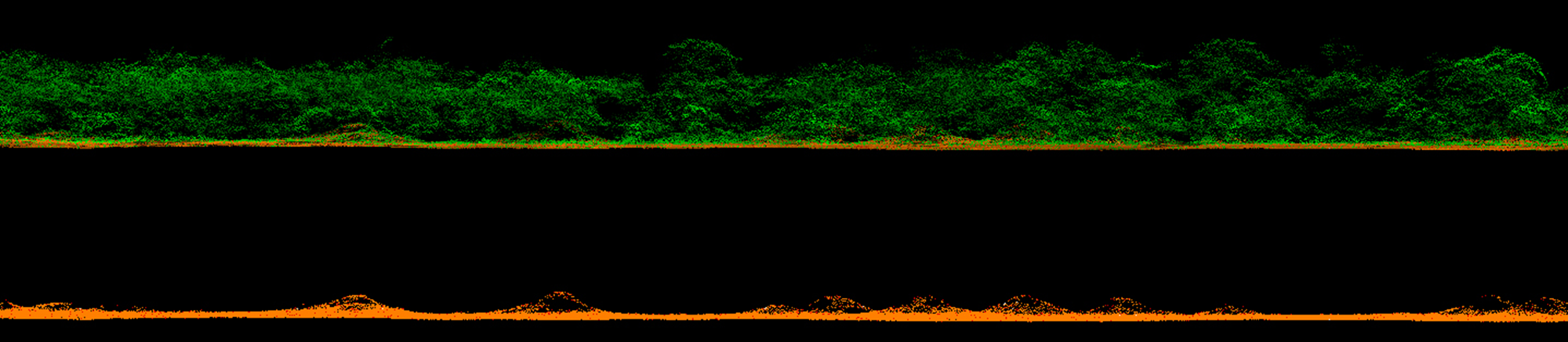
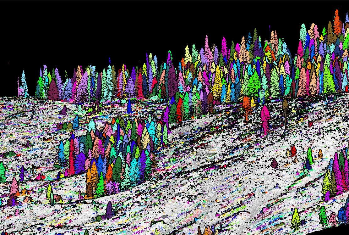
Forestry survey LiDAR is invaluable for various forestry tasks, including harvest planning, slope analysis, road design, inventory management, and environmental monitoring. It helps optimise machinery use, improve safety, and enhance sustainability efforts.
Yes, LiDAR provides detailed insights that reduce the need for extensive ground surveys, saving time and labor. It improves planning accuracy, minimizes resource wastage, and prevents costly errors in operations like road building and harvest allocation.
LiDAR delivers highly accurate measurements by capturing tree height, trunk diameter, and canopy structure. When combined with statistical models, it provides reliable estimates of biomass and timber volume, supporting precise inventory and resource management.
DELIVERING HIGH-QUALITY AERIAL SURVEYS WHEREVER YOU NEED
Our services are available worldwide. Whether your project is in remote areas, across challenging terrain, or in urban landscapes, our team can deploy an equipped aircraft to capture precise data wherever you need it.
With operational capabilities spanning continents, we bring advanced geospatial solutions directly to your location, ensuring that distance and geography are never barriers to high-quality aerial data.
SOUTH AFRICA
#203, Worlds View Office Park,
Worlds View Drive, Gillitts, 3610
Tel: +27 (0)31 765 1424
WHO WE’VE HELPED
We are continuously engaged in fascinating projects with inspirational clients!
Leverage the power of LiDAR and multi-spectral imagery to make data-driven decisions and achieve sustainable management goals.