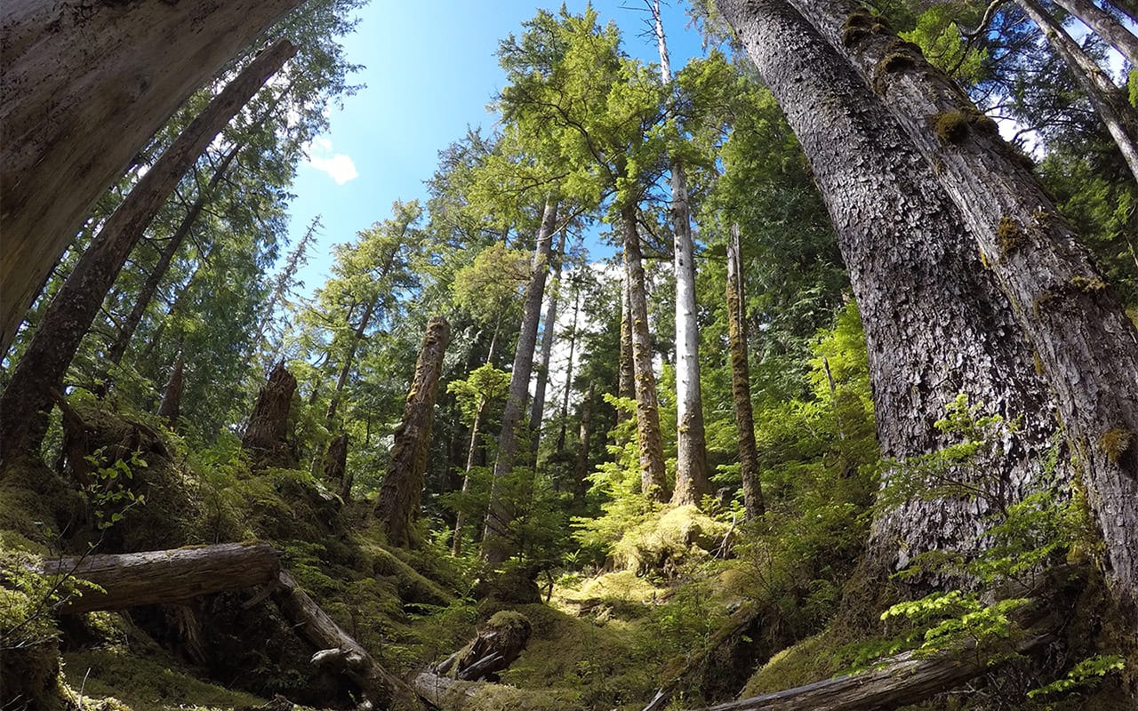
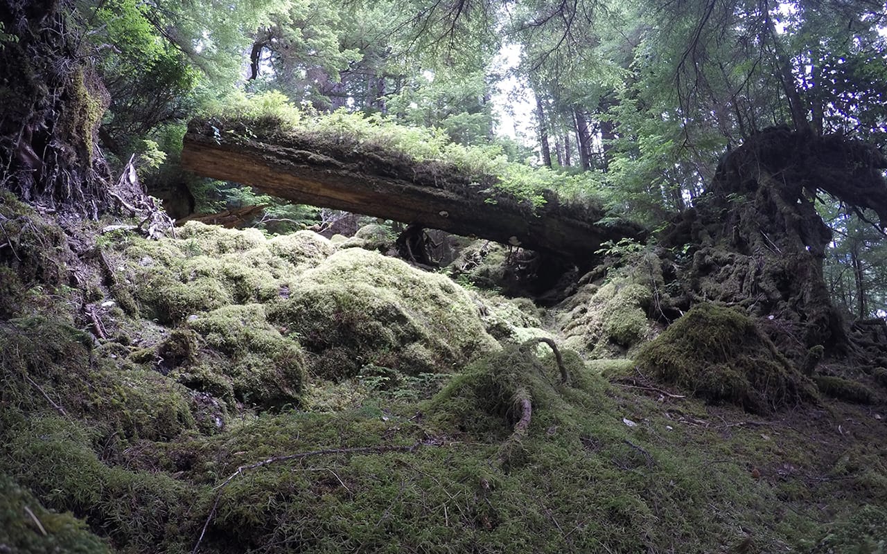
In 2018, WGS launched a LiDAR survey on Moresby Island, focusing on Gwaai Haanas National Park, located off the West Coast of British Columbia. The park lies about 50 km south of Sandspit, the island’s largest community, which has fewer than 30 people and is home to the island’s only landing strip. Moresby Island holds great cultural significance for the Haida people, who have lived there for 13,000 years. The Haida faced major losses due to smallpox in the mid-19th century and colonial rule. Despite this, they remain fiercely dedicated to preserving their culture, heritage, and land, which is now a UNESCO World Heritage site.
Execution and Data Collection
The aerial acquisition took place over two years because the weather only allowed for short, limited windows each year. Due to the challenging conditions, the LiDAR survey required several adjustments. The team had to carefully monitor and adjust flight plans to ensure complete coverage, especially where steep hillsides and thick vegetation could obscure the data. Despite these challenges, the team successfully collected a substantial amount of data, providing a detailed view of the park’s diverse ecosystems.
Logistics and Ground Control
Due to the remote location, lack of infrastructure, and the park’s protected status, a ground survey was needed to establish control points. This survey took place separately from the aerial portion. With support from Parks Canada and the Haida people, WGS sent a field technician to Sandspit via Vancouver to meet an air shipment of GPS ground stations. One station was set up as a static base at Sandspit airport. Afterward, the team took a ferry to Skidegate and navigated the archipelago by boat for five days, securing ground control points despite the challenging terrain. The crew, including Parks Canada staff and WGS personnel, worked together to leap ashore with pelican cases of equipment, carefully choosing spots for the stations.