From high-performance LiDAR systems to survey-ready aircraft and medium-format cameras, our inventory is designed to get your operations off the ground — fast.
We don’t just rent hardware — we bring decades of experience in aerial mapping, data processing, and operational logistics to help ensure your project’s success. Providing your existing capabilities, we offer a range of aerial survey equipment and aircraft for short- or long-term rental.
GeoLAS ELMAP30 LiDAR Sensor
A high-performance airborne laser scanner ideal for wide-area mapping and corridor surveys, offering exceptional range, accuracy, and point density.
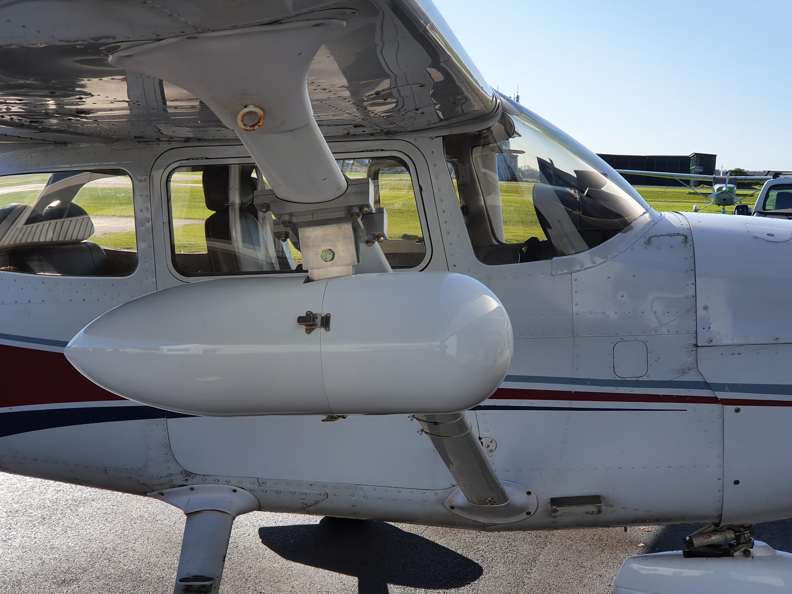
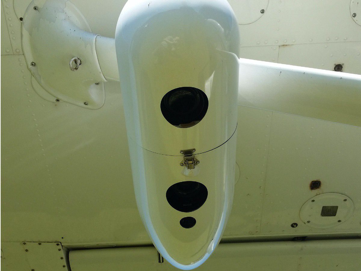
A fully integrated, self-contained aerial imaging system designed for rapid deployment on light aircraft. Housed in a streamlined strut mounted pod, this system combines high-resolution imagery with precise positioning and orientation data, eliminating the need for permanent aircraft modifications.
Key Features:
Phase One iXM 100MP camera with 35mm lens
Dual GNSS receivers for precise geotagging
Precision IMU for high-accuracy orientation data
Rugged housing with quick-release aircraft mounting
The UltraCam Lp is a large-format digital aerial camera designed for cost-effective wide-area mapping. It combines outstanding image quality with a compact form factor, making it ideal for projects where full-frame quality is required but SWaP (size, weight, and power) constraints are a factor.
Key Features:
92 Megapixel PAN frame (11,704 x 7,920 pixels)
Four multispectral channels (RGB+NIR)
Integrated GNSS/INS support
Compact, lightweight design for light aircraft
Vexcel UltraMap-compatible for streamlined post-processing
A twin-engine aerial survey platform offering endurance, stability, and payload capacity for demanding missions. Our Piper Aztec is equipped with a certified survey hatch, dual pilot controls, and ample power for LiDAR, large-format cameras, and multi-sensor configurations — making it ideal for UK and European operations.
Key Features:
Certified survey port with reinforced mount points
Twin-engine reliability for extended operations and higher safety margins
Large internal space for sensor racks and operators
A cost-effective, survey-ready platform ideal for aerial LiDAR and photogrammetry missions across North America. This C182 is equipped with a dedicated survey port and supports flexible crew configurations, making it an excellent choice for agile, single- or dual-operator missions.
Key Features:
Certified survey port for sensor installation
Suitable for day or night operations
Low operating costs and excellent endurance
Operable with single pilot or pilot + sensor operator
We understand that equipment alone doesn’t deliver successful outcomes — experience, precision, and reliability do. That’s why we offer a range of support services designed to help you get your project off the ground with confidence and efficiency.
Deployment Assistance
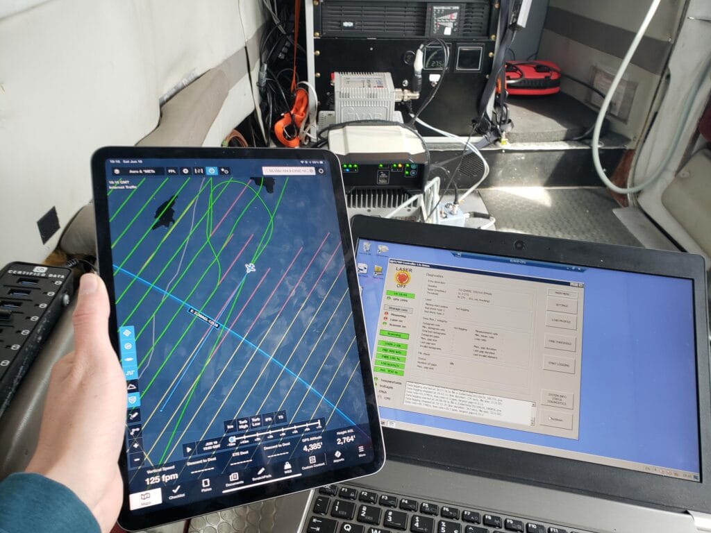
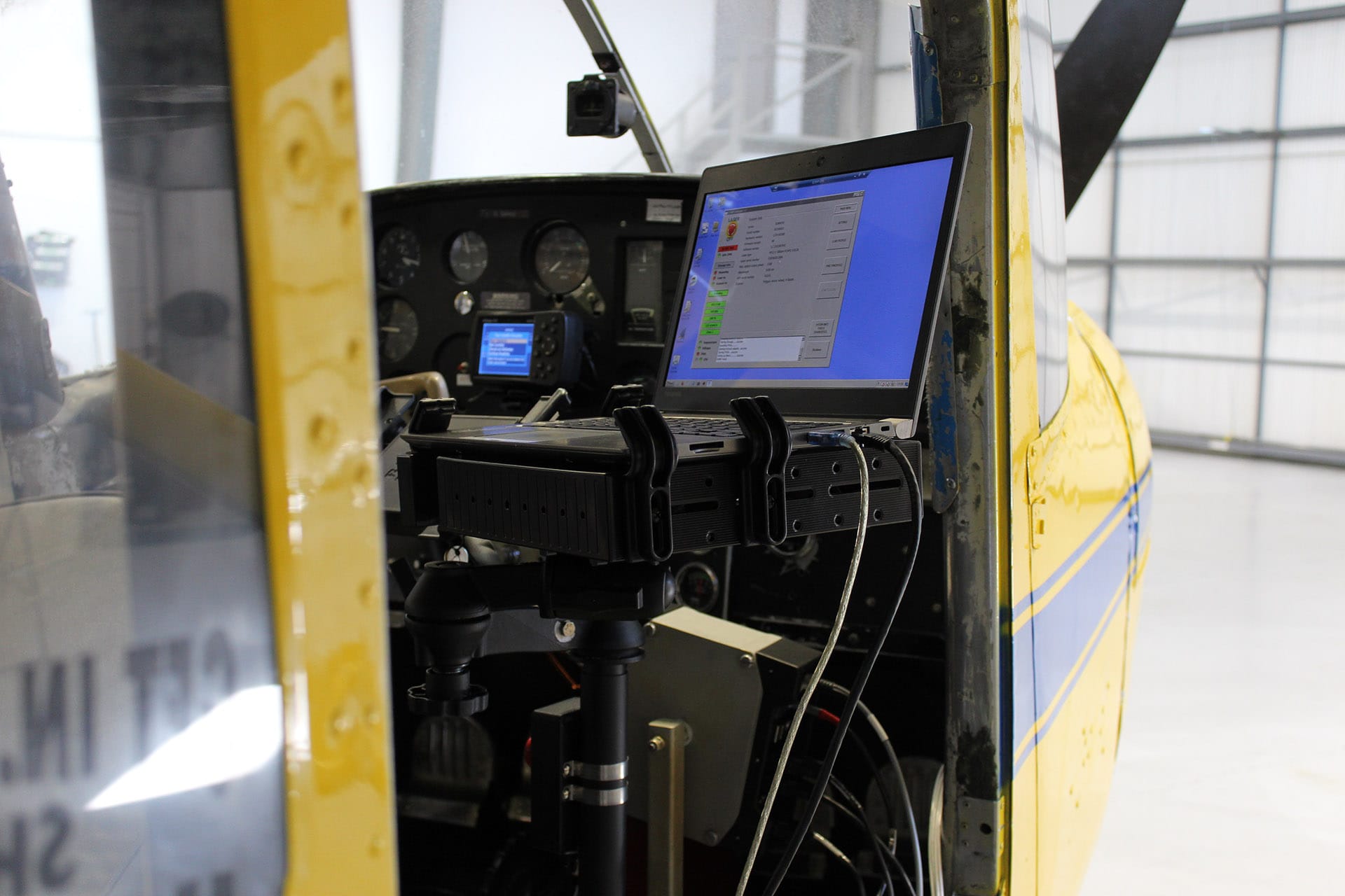
We provide practical, hands-on support to help integrate our equipment with your platform. Whether you’re operating a fixed-wing aircraft, UAV, or vehicle-based setup, our team can assist with installation, calibration, and pre-mission checks — remotely or on-site.
Flight Operations
Need more than just gear? We offer turnkey aerial data acquisition services including licensed pilots, operators, and end-to-end mission planning. Our aircraft and crews are approved for survey work and can operate under UK and Canadian regulations for day or night missions.
Data Processing Support
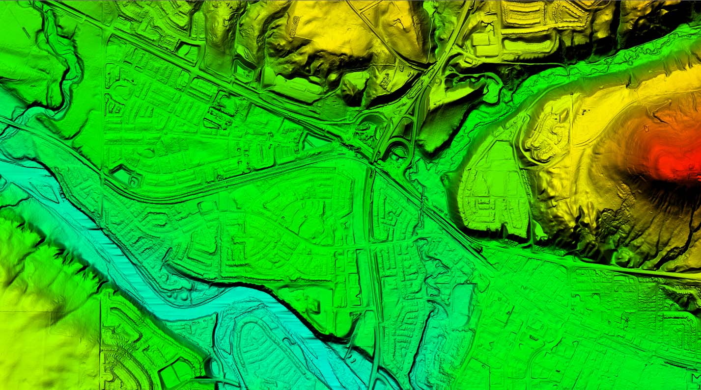
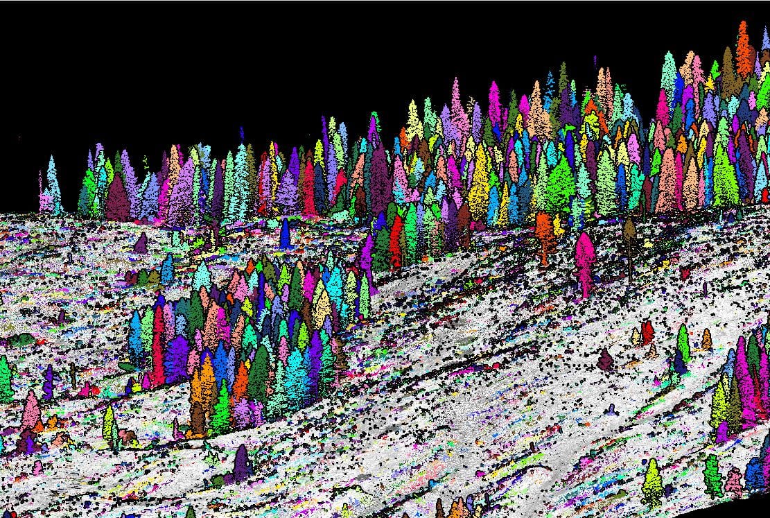
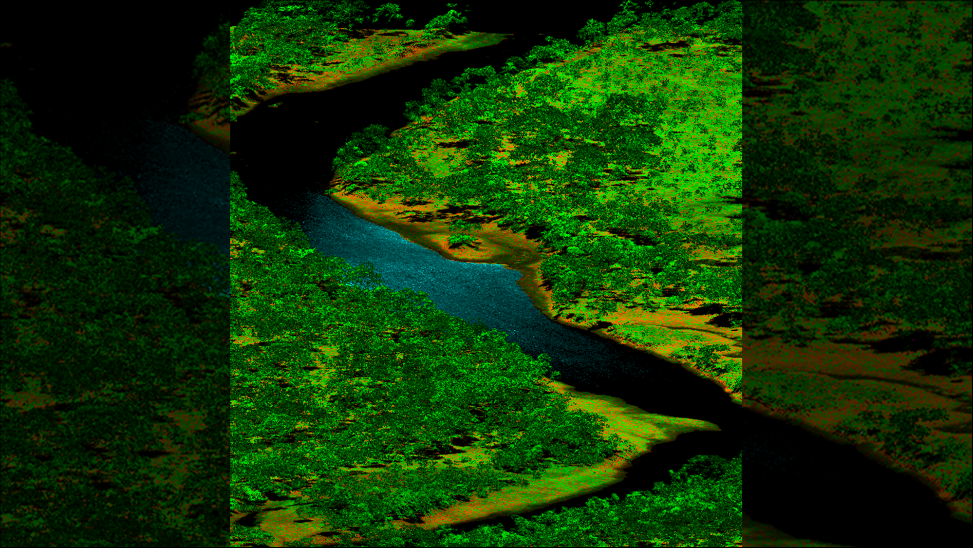
Post-flight, we can handle as much or as little of the processing as needed. From trajectory alignment and point cloud generation to orthophoto creation and final deliverables, our experienced team ensures your data is accurate, clean, and ready to use.
Whether you’re a first-time aerial operator or an established mapping firm scaling up, we bring deep technical expertise and operational know-how to support your success — every step of the way.