SETTING THE STANDARD IN THERMAL SURVEYS
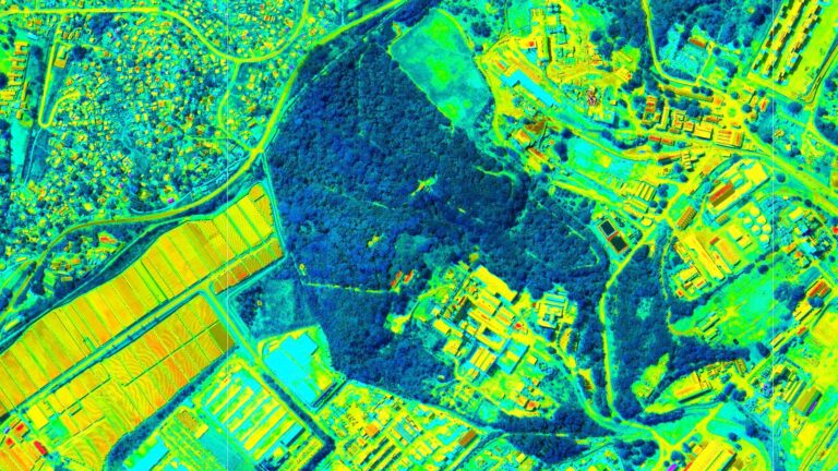
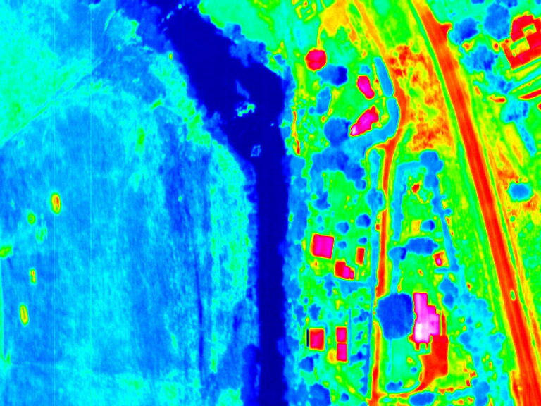
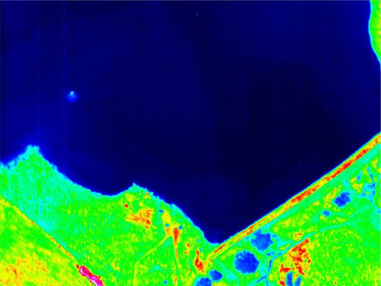
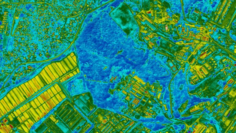
WGS uses thermal surveys for fire mapping, vegetation health assessments and heat loss assessments. With an accuracy of less than a degree, even small changes can be detected.
For fire mapping, both above ground and subterranean fires can be monitored as well as the heat from stockpiles and mine dumps.
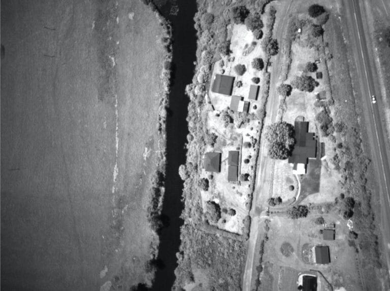
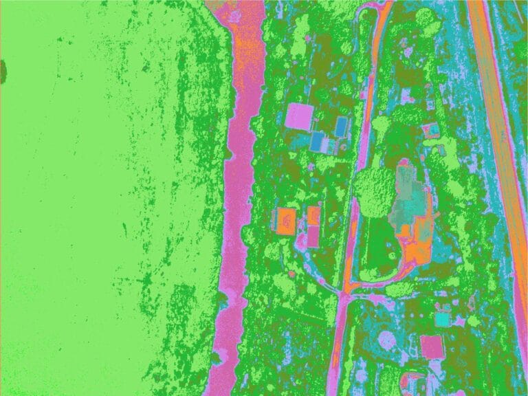
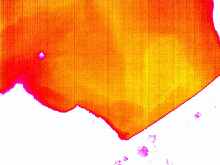
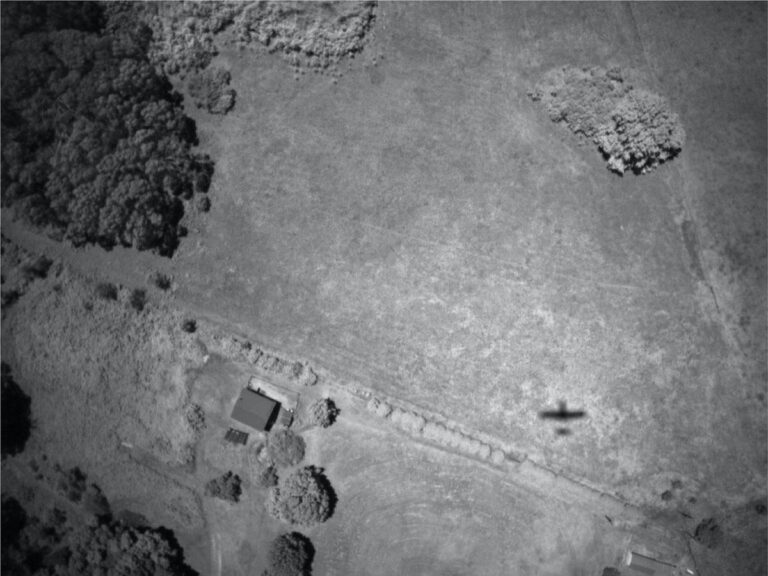
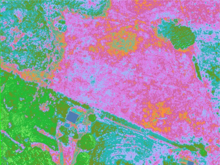
Thermal imaging is simply the process of converting infrared (IR) radiation (heat) into visible images that depict the spatial distribution of temperature differences in a scene viewed by a thermal camera.
- Professional-grade thermal imaging cameras for superior picture quality.
- Ideal for complex, large-scale projects requiring precise data.
- Efficient data capture across challenging terrains and expansive coverage areas.
ACCURACY AND SCALE WITHOUT COMPROMISE
Our thermal imaging solutions provide unparalleled accuracy and scale, capturing data over extensive areas in a fraction of the time needed by other methods. With state-of-the-art thermal survey cameras mounted on manned aircraft, we deliver consistent, high-quality data for every project.
Capture precise, detailed imagery across large areas without loss of quality.
Thermal survey cameras and manned aircraft ensure rapid coverage, ideal for time-sensitive projects.
Professional-grade equipment ensures stable, high-quality output under various conditions.
SURVEY SOLUTIONS TAILORED TO YOUR NEEDS
COMPREHENSIVE THERMAL SURVEY CAPABILITIES
Geo-referenced aerial images with precise spatial accuracy for mapping and planning. High-Resolution DTM (Digital Terrain Models). Detailed topography data for land use planning and engineering. 3D Urban Modelling: Accurate 3D representations of urban areas for city planning and smart city projects.
OUR THERMAL SURVEY PROCESS
3-STEP PROCESS VISUALISATION:
FREQUENTLY ASKED QUESTIONS
Aerial thermal mapping uses drones or aircraft equipped with thermal cameras to capture infrared radiation. These cameras detect temperature variations on the surface and convert them into thermal images or maps.
- Agriculture (crop health monitoring)
- Solar energy (panel inspections)
- Utilities (powerline and substation monitoring)
- Construction (roof and insulation inspections)
- Environmental management (wildlife and habitat monitoring)
- Identifying heat loss in buildings
- Detecting hotspots in solar panels
- Monitoring irrigation and soil moisture in agriculture
- Assessing thermal activity in industrial facilities
- Locating underground pipeline leaks
Accuracy depends on factors like camera resolution, environmental conditions, and altitude. High-quality thermal sensors can detect temperature differences as small as ±0.1°C, offering precise insights.
Yes, thermal mapping is highly effective at night because the absence of sunlight reduces interference from reflective surfaces, enhancing the clarity of temperature data.
Click here to view the full range of our services.
PRECISION DATA COLLECTION FROM OUR STRATEGIC BASES
THERMAL SURVEY COVERAGE
From our worldwide strategic bases, we provide aerial imaging services to clients worldwide. From urban centers to remote landscapes, our team has the capacity to capture high-resolution data wherever your project is located.
SOUTH AFRICA
#203, Worlds View Office Park, Worlds View Drive, Gillitts, 3610
Tel: +27 (0)31 765 1424
WHO WE’VE HELPED
YOU’RE IN GOOD COMPANY
We are continuously engaged in fascinating projects with inspirational clients!





START YOUR THERMAL SURVEY TODAY
Our team is ready to deliver precise, large-scale data to meet the unique needs of your project. Contact us today to discuss your requirements and receive a customized quote.
