Urban LiDAR Survey in Alberta
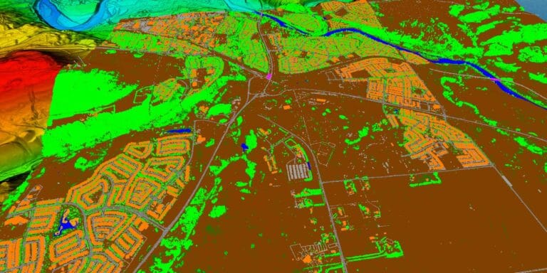
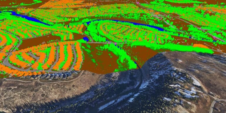
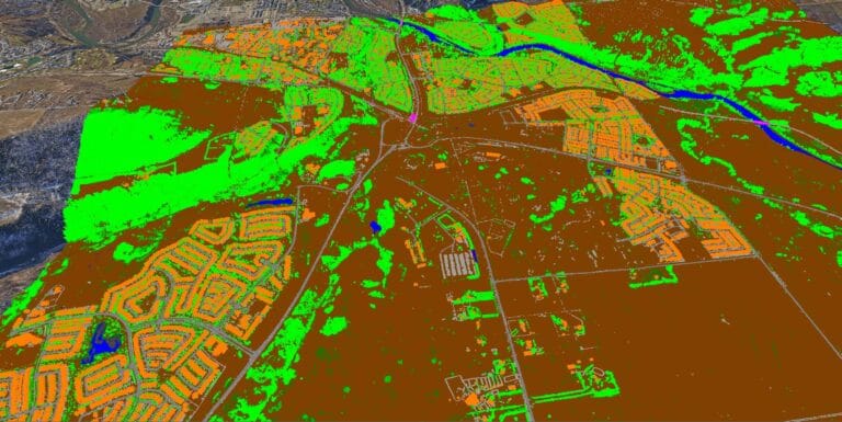
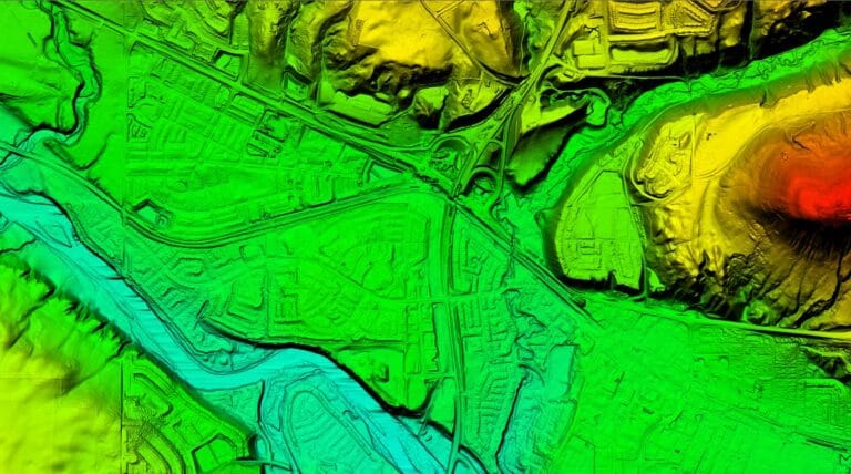
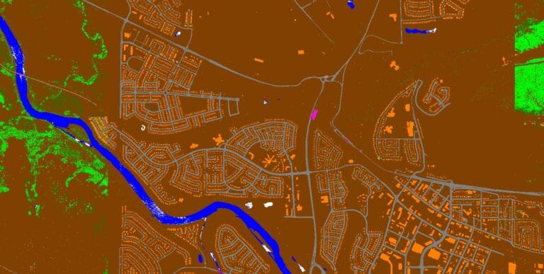
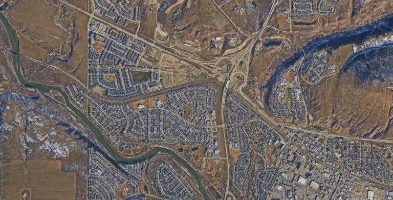
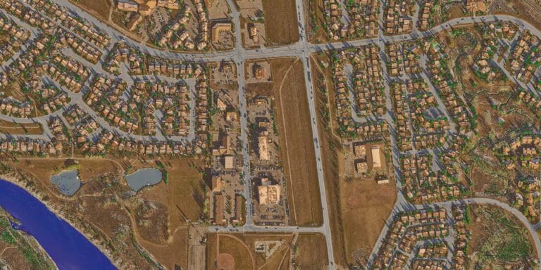
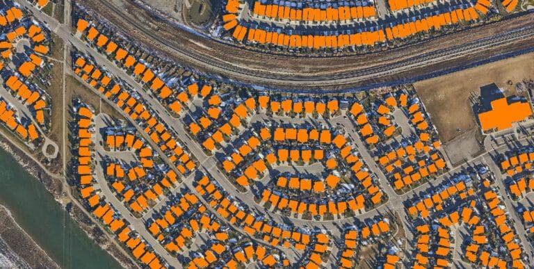
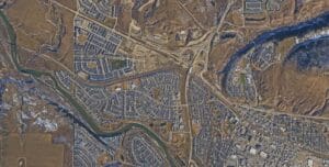
We recently completed a comprehensive aerial LiDAR survey of a large town in Alberta, delivering exceptional results beyond the original project specifications. While the client initially requested LiDAR data only, we captured high-resolution orthophotos, performed 3D building extraction, and conducted a detailed vegetation assessment for internal quality enhancement, although these additional datasets were not delivered as the client had no need for them.
Innovative Vegetation Assessment
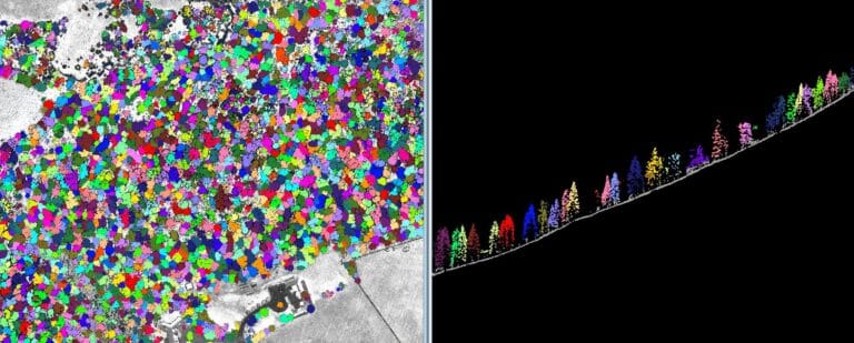
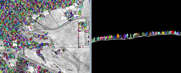
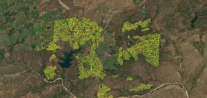
The vegetation assessment was particularly innovative, as we used the LiDAR data to group and enumerate individual trees throughout the town. Leveraging AI technology and machine learning for initial classification, we ensured precise and efficient data processing. This level of detail offers significant value for urban planning, environmental monitoring, and municipal asset management.
Efficient Workflow and Rapid Delivery
Our team managed the entire data acquisition and processing workflow, from flight planning to final deliverables, in just six weeks. This rapid turnaround was possible due to our efficient operational strategies and advanced data processing capabilities. Despite the size and complexity of the project, we maintained exceptional accuracy and delivered actionable data tailored to the client’s needs.
Commitment to Excellence
This project exemplifies our commitment to exceeding expectations and delivering comprehensive geospatial solutions. By integrating multiple data products from a single flight, we provided the client with a richer dataset, enhancing their ability to make informed decisions for urban development and environmental management.
