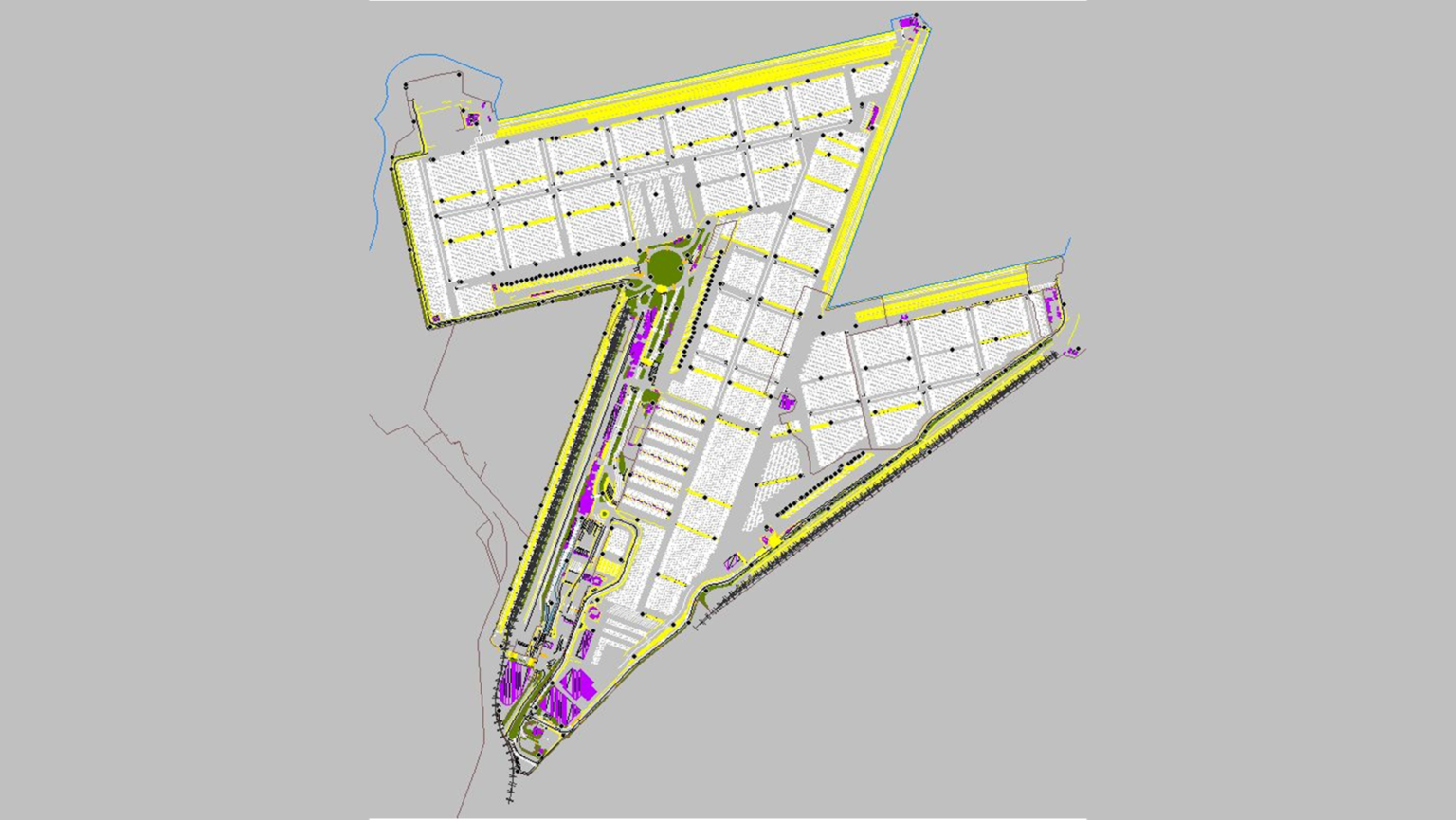
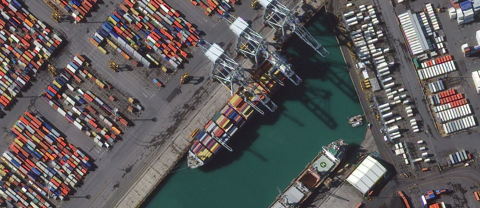
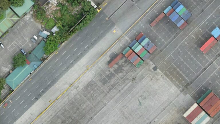
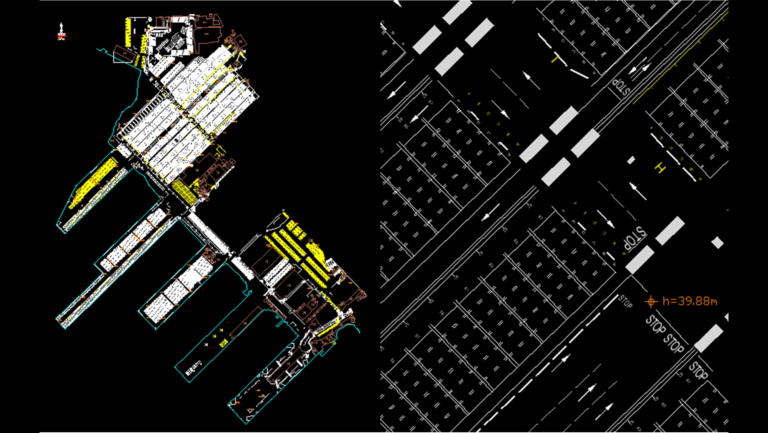
Port mapping of Manilla container terminal
- Philippines
UAV systems are a challenging photogrammetric problem. It is just not yet possible to install survey grade instruments to a small drone. The point and shoot style cameras provide a challenging platform to work off due to the low cost and overall diminished precision that the instrument is manufactured to. The portability and lower precision of drones makes them perfectly suited, however, to small sites that require close range survey with a very small scale.
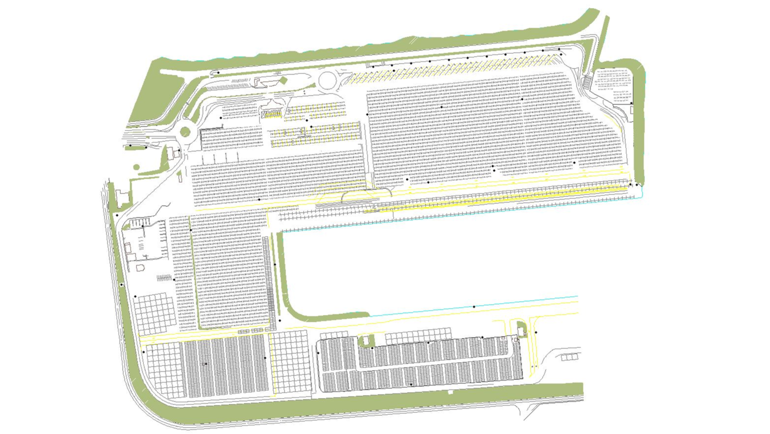
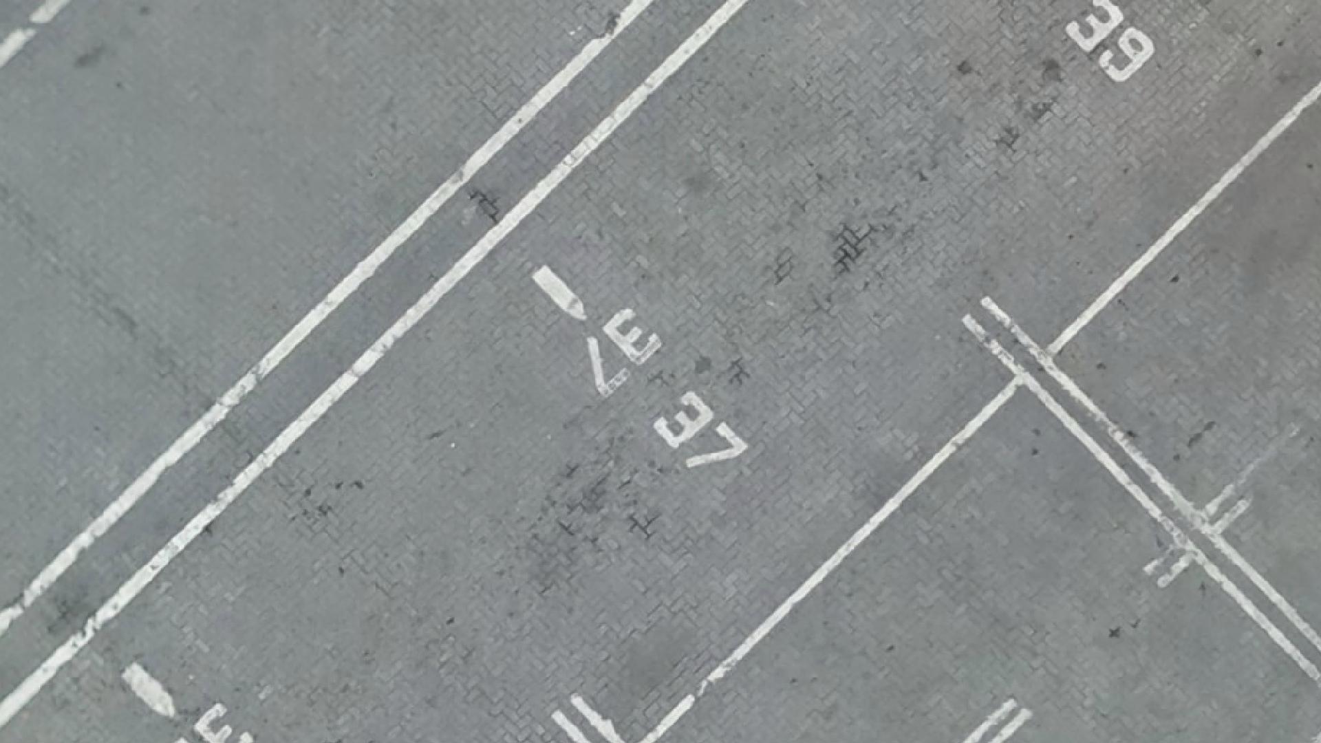
Manilla required such a survey for the purposes of mapping all visible terminal structures and utilities as well as every paint marking. The very small scale that features were mapped to provide the basis for automatic container logistics. WGS processed the thousands of small-scale images and built a seamless orthophoto with a 1cm GSD which allowed the staff to capture even the smallest painted text in the container terminal. Ultimately the supplied CAD drawing serves to provide a map for machines to navigate the terminal and keep track of where they, and the containers are, at all times.

