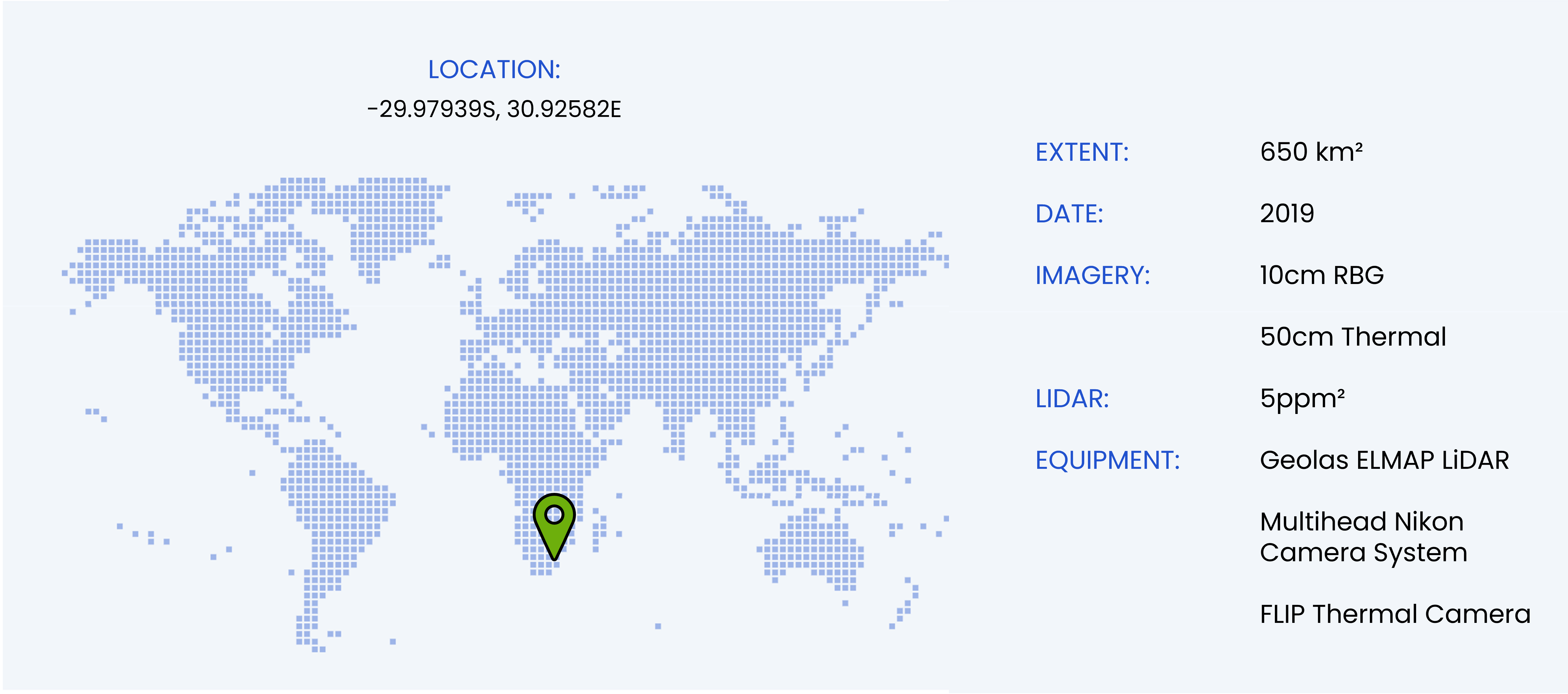
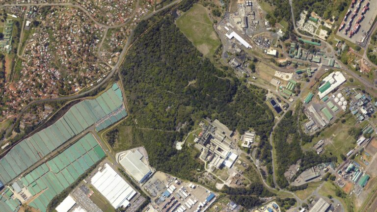
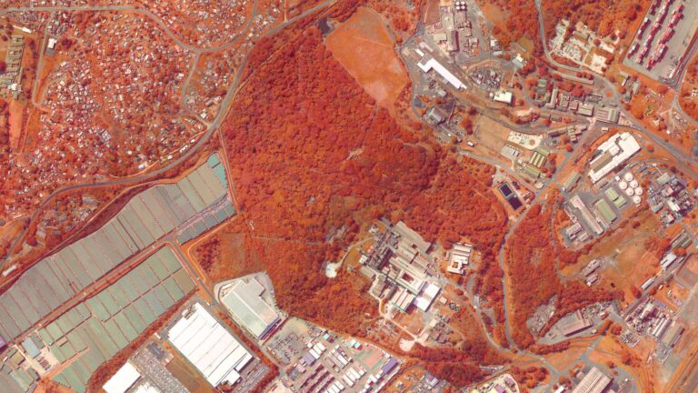
Multi-spectral imaging of industrial effluent
- South Africa
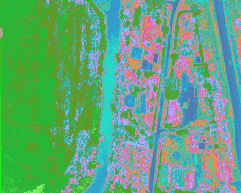
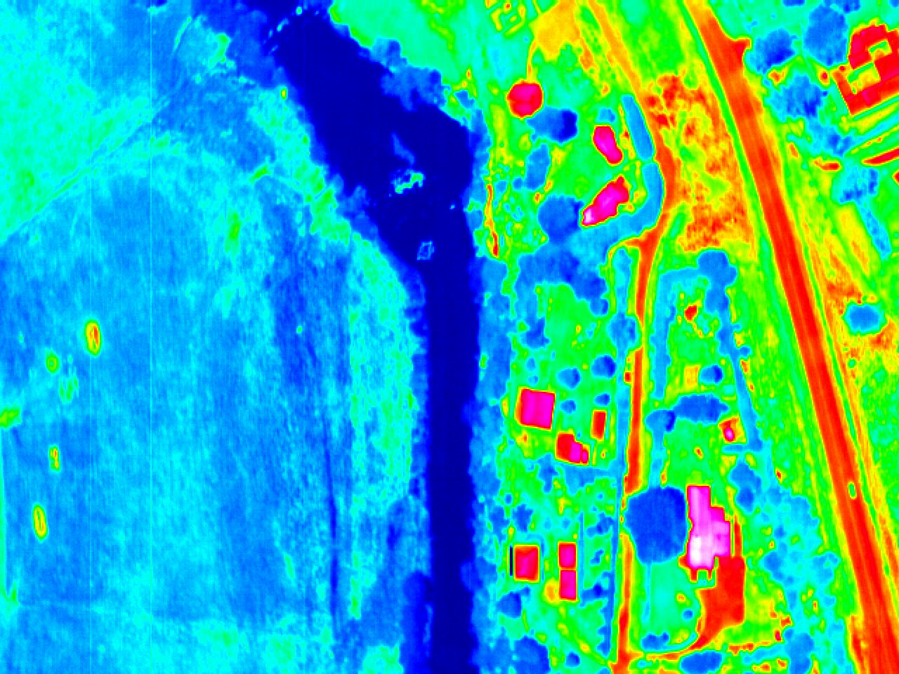
Modular system design allows WGS to mount combinations of sensors and maximise efficiency. One such example was a survey over an industrial effluent site where RGB, IR, Thermal imaging and LiDAR sensors were all used concurrently in a single flight. Careful system design, calibration and operation ensures that each sensor may be ultimately combined to provide specific measurements for the same point on earth.
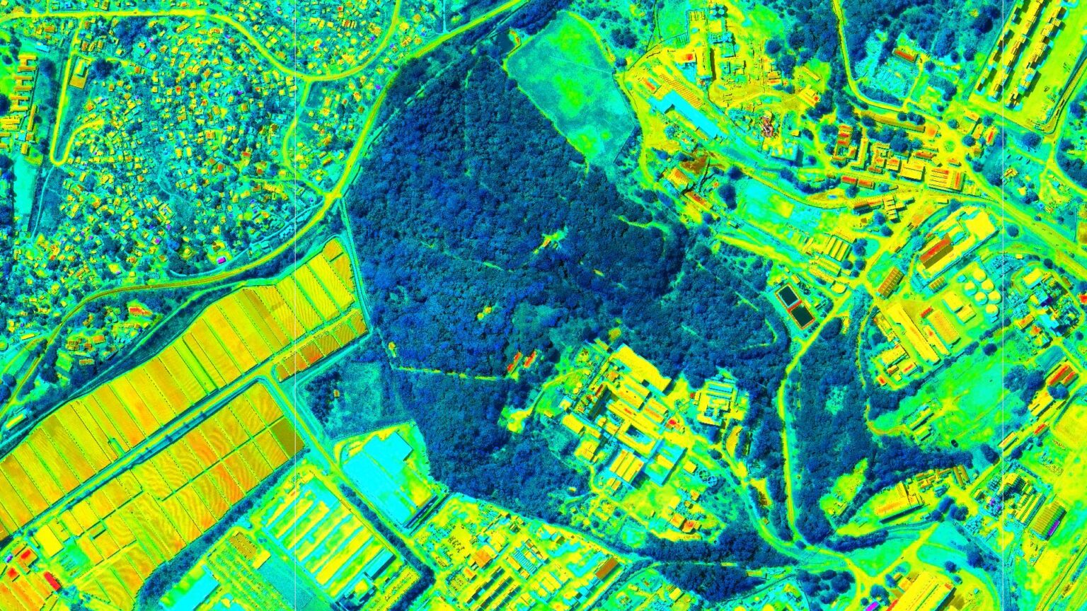
Each sensor’s imagery is processed independently and combined in a final step to ensure consistency between datasets. The thermal imagery was further resampled using bicubic interpolation to match the 10cm/px resolution of the RGB ortho and the two were combined to produce an augmented thermal orthophoto.
