UAV PORT TERMINAL SURVEY
MANILA, PHILLIPINES
ADVANCEMENTS IN DRONE TECHNOLOGY
Unmanned Aerial Vehicle (UAV) surveys, more commonly known as Drone surveys have become a reliable solution for photogrammetric surveys, thanks to advancements in drone technology and camera systems. Modern UAVs offer an efficient and cost-effective platform for mapping and analysis, combining portability with the ability to deliver precise and detailed imagery.
The capability of drones to operate at close range makes them particularly suited for projects that require high-resolution imagery of small or complex areas. This flexibility has made UAV systems an indispensable tool for infrastructure mapping, logistics planning, and various other applications that demand detailed and accurate data.
UAV SURVEY FOR PORT TERMINAL MAPPING
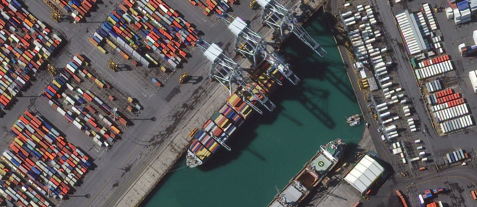
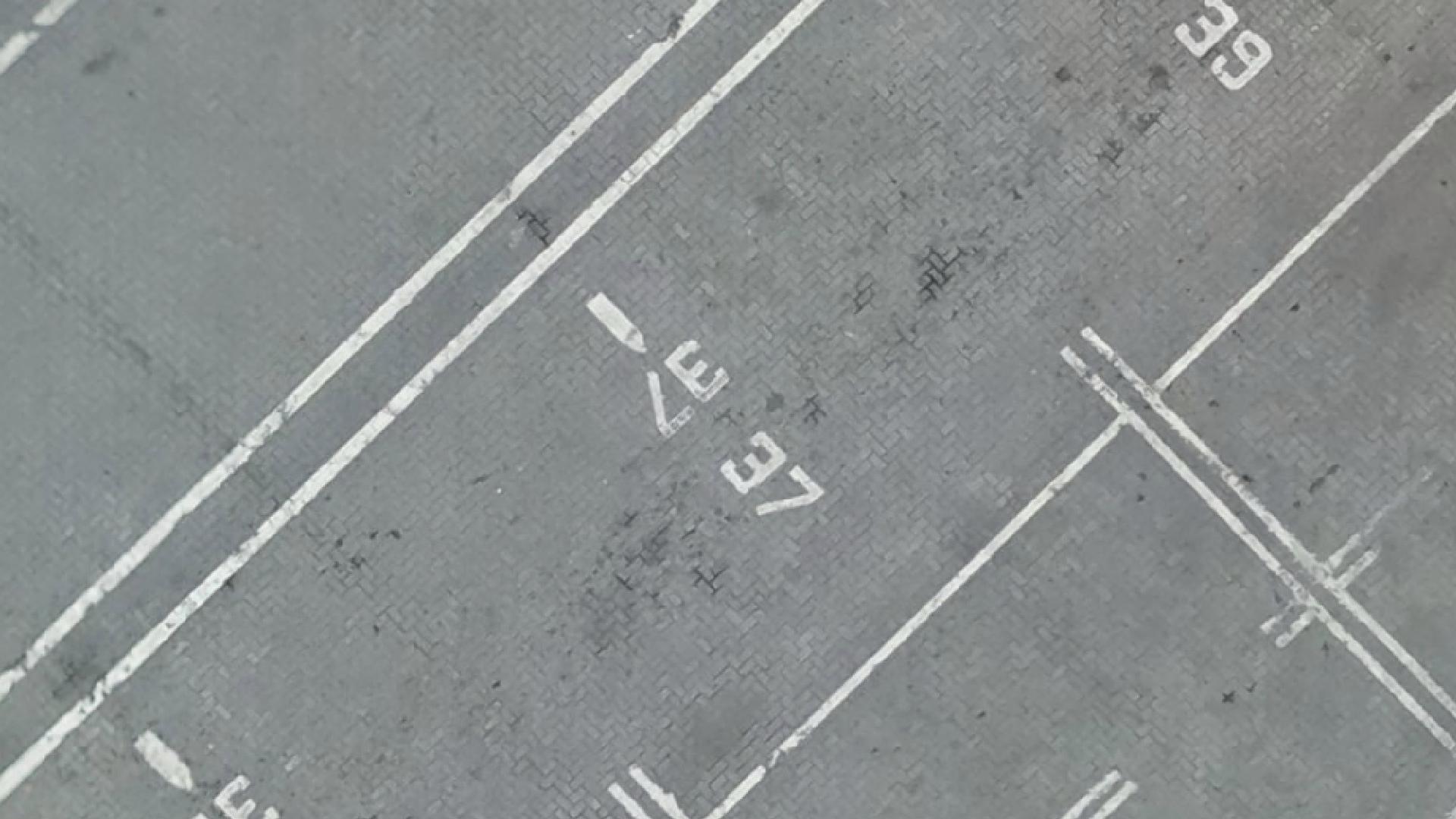
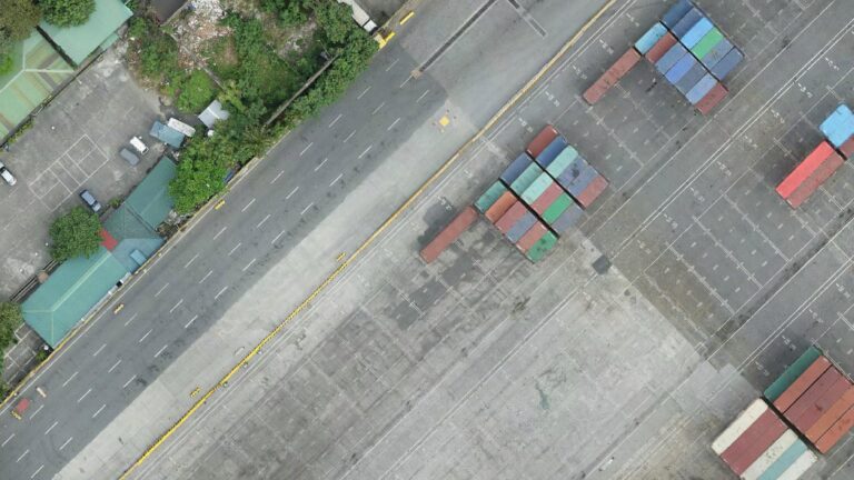
A recent project in Manilla showcased the capabilities of UAV technology. The survey was conducted to map all visible terminal structures, utilities, and every paint marking within the container terminal. This close-range survey required exceptional precision to ensure that even the smallest details, such as painted text, could be captured accurately.
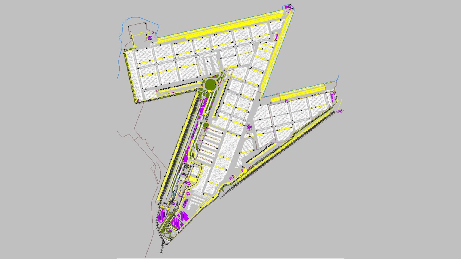
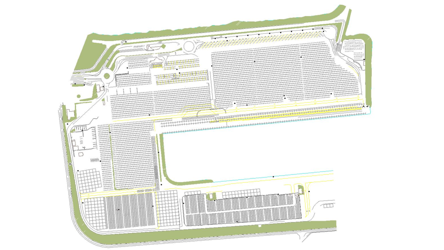
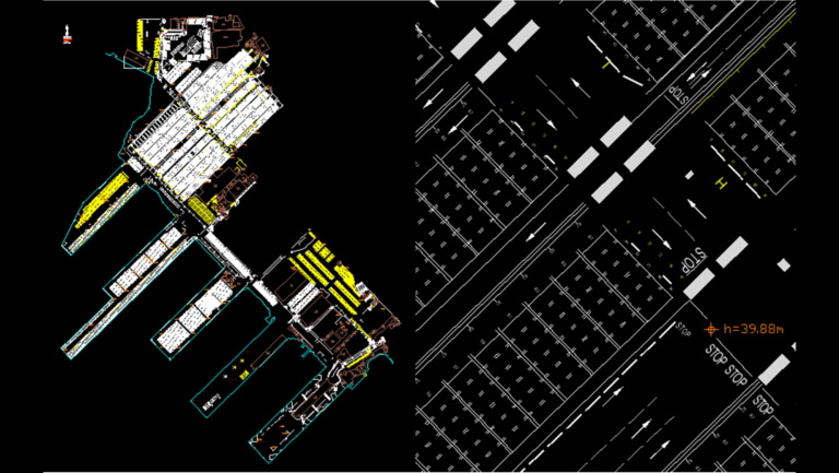
WGS deployed UAV systems to collect thousands of high-resolution images, capturing the terminal at a 1cm Ground Sampling Distance (GSD). The resulting data was processed to create a seamless orthophoto that provided a comprehensive and precise visual representation of the site. This orthophoto served as the foundation for generating detailed CAD drawings, enabling automated container logistics within the terminal.
ENABLING AUTOMATION WITH HIGH-PRECISION MAPPING
The CAD drawings supplied by WGS provided a critical map for the terminal’s automated systems. These maps enable machines to navigate the terminal effectively, keeping track of their own locations and the positions of containers at all times. The high level of detail captured during the survey ensured that the automated systems could rely on the data for seamless operation, improving efficiency and accuracy in container management.
MEETING MODERN SURVEY DEMANDS
WGS’s success in Manilla demonstrates the potential of UAV systems to meet the demands of modern survey projects. By combining the portability of drones with advanced imaging capabilities, WGS delivers precise and reliable data for even the most detailed applications. UAVs are no longer limited by earlier technological constraints and have become an essential tool for high-resolution mapping and analysis.

