Southern Africa Sugar Crop Area Audit
ZIMBABWE, SOUTH AFRICA, MOZAMBIQUE
Leveraging Satellite Data for Agricultural Analysis
Satellite sensors provide a wealth of coarse image data, extending beyond standard RGB imagery to include additional image bands such as infrared and multispectral data. These diverse bands offer valuable insights into vegetation health, soil conditions, and other environmental factors. Satellite data is also acquired at fairly regular intervals, contingent on weather conditions such as cloud cover, enabling comparative analysis over time. As satellite technology continues to evolve, modern services are offering higher resolution imagery at increasingly lower costs, making it accessible for a wide range of applications.
Sentinel II Imagery for Monitoring Cropland
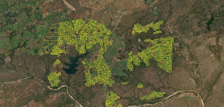
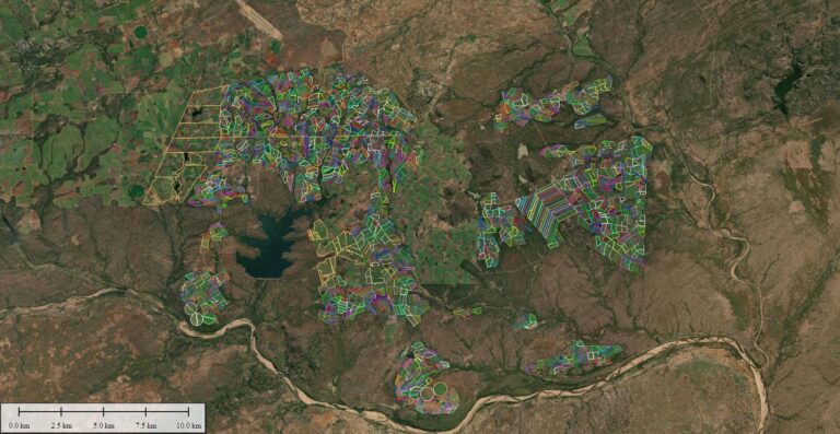
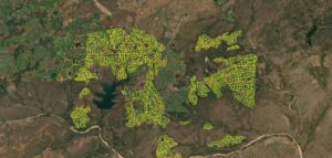
WGS has effectively utilized freely available Sentinel II satellite imagery to conduct change analysis and verify harvest data. This approach relies on existing field polygons, which are imported as a vector layer and overlaid on the raster imagery. For each polygon, an average crop health indicator value is calculated based on the raster cells it contains.
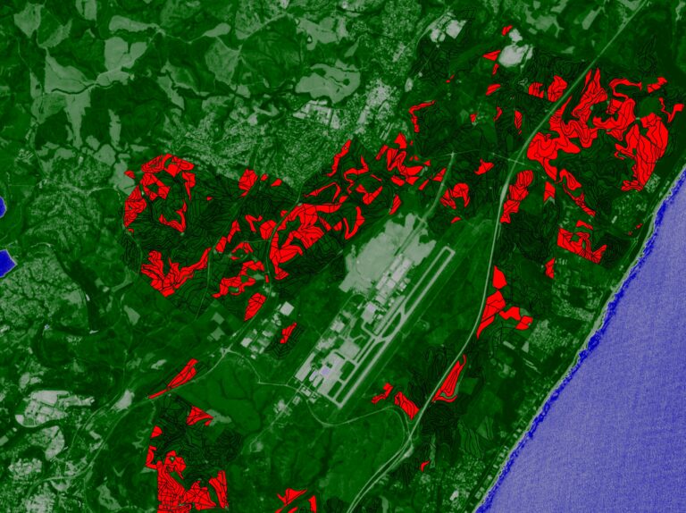
This analysis is performed weekly, provided that cloud-free satellite data is available. By comparing the current crop health value to the previous week’s value, WGS can autonomously monitor hundreds of square kilometers of cropland. This process is efficient, scalable, and provides near real-time insights into the condition of agricultural fields.
Autonomous Harvest Detection
One of the key benefits of this system is its ability to detect harvest activity with remarkable precision. When a significant drop in the crop health indicator value is observed, WGS can confirm that a field has been harvested—often within a week of the event. This capability enables timely reporting to stakeholders, such as farmers, agronomists, and agricultural planners, supporting better decision-making and resource allocation.
By combining the power of satellite technology with automated analysis, WGS is advancing the way agricultural landscapes are monitored, offering scalable solutions for large-scale crop management.
